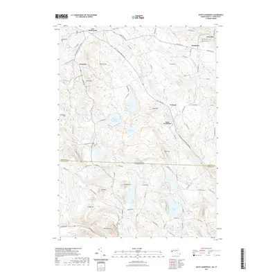
2021 Map of South Sandisfield
USGS Topo · Published 2021About this map
Thousand Acre Swamp Reservoir and the Umpachene River drainage define this section of the Berkshire-Litchfield borderlands. This late-modern survey documents a landscape of high-elevation wetlands and significant water storage, including Wood Cr Reservoir and the expansive Doolittle Lake. Small settlements like Southfield and Konkapot remain connected by a network of rural roads such as Canaan Southfield Rd and Sandy Brook Rd, tracing routes established long before contemporary mapping.
Find a feature on this map
96 named features on this map. Tap any name to fly to it.
Don’t see what you’re looking for? This feature index may not catch every label — zoom into the map to look around manually.
Map Details
Editions of this 2021 South Sandisfield Map
This is the sole edition of this map. No revisions or reprints were ever made.
Other maps of this area

1885 · Sheffield
USGS Topo · 1:62,500

1888 · Sheffield
USGS Topo · 1:62,500

1888 · Sandisfield
USGS Topo · 1:62,500

1891 · Sheffield
USGS Topo · 1:62,500

1892 · Winsted
USGS Topo · 1:62,500

1892 · Cornwall
USGS Topo · 1:62,500

1893 · Sheffield
USGS Topo · 1:62,500

1893 · Cornwall
USGS Topo · 1:62,500

1893 · Sandisfield
USGS Topo · 1:62,500

1897 · Sandisfield
USGS Topo · 1:62,500