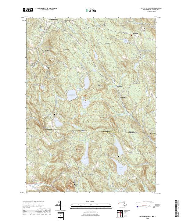
2024 Map of South Sandisfield
USGS Topo · Published 2024About this map
The borderlands of the Northwest Hills Planning Region are defined by the convergence of the Berkshire Co line and the Massachusetts-Connecticut state boundary. This area, largely comprised of high-elevation swamps and ponds, is anchored by small rural centers such as Sandisfield, Southfield, and Montville. The landscape is a network of water bodies, including the Thousand Acre Swamp Reservoir and East Indies Pond, which once powered local mills and agricultural pursuits. Genealogists will find a high density of small family and community burial grounds, including the New Marlborough Cem, Dubois Cem, and Pond Town Cem. To the south, the terrain drops towards the Blackberry River and Campbell Falls, marking a distinct shift in the watershed as the hills descend into the neighboring state.
Find a feature on this map
109 named features on this map. Tap any name to fly to it.
Don’t see what you’re looking for? This feature index may not catch every label — zoom into the map to look around manually.
Map Details
Editions of this 2024 South Sandisfield Map
This is the sole edition of this map. No revisions or reprints were ever made.
Other maps of this area

1885 · Sheffield
USGS Topo · 1:62,500

1888 · Sheffield
USGS Topo · 1:62,500

1888 · Sandisfield
USGS Topo · 1:62,500

1891 · Sheffield
USGS Topo · 1:62,500

1892 · Winsted
USGS Topo · 1:62,500

1892 · Cornwall
USGS Topo · 1:62,500

1893 · Sheffield
USGS Topo · 1:62,500

1893 · Cornwall
USGS Topo · 1:62,500

1893 · Sandisfield
USGS Topo · 1:62,500

1897 · Sandisfield
USGS Topo · 1:62,500