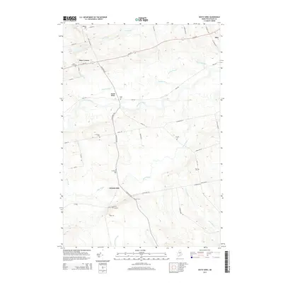
2014 Map of South Sebec
USGS Topo · Published 2014About this map
The Piscataquis River flows eastward through this landscape, serving as a central geographic anchor for the rural communities of Piscataquis County. This 2014 survey documents a region defined by a network of historic cemeteries and small settlements, including South Sebec and Atkinson Mills. The prevalence of family and community burial grounds, such as Chase Cem, N Atkinson Cem, and Gould Cem, provides a map of local lineage and the early settlement patterns that shaped the area south of Milo.
Find a feature on this map
54 named features on this map. Tap any name to fly to it.
Don’t see what you’re looking for? This feature index may not catch every label — zoom into the map to look around manually.
Map Details
Editions of this 2014 South Sebec Map
This is the sole edition of this map. No revisions or reprints were ever made.
Other maps of this area

1932 · Dover-Foxcroft
USGS Topo · 1:48,000

1933 · Boyd Lake
USGS Topo · 1:62,500

1935 · Dover-Foxcroft
USGS Topo · 1:62,500

1940 · Sebec
USGS Topo · 1:48,000

1943 · Sebec
USGS Topo · 1:62,500

1947 · Schoodic
USGS Topo · 1:62,500

1949 · Schoodic
USGS Topo · 1:62,500

1951 · Boyd Lake
USGS Topo · 1:50,000

1954 · Millinocket
USGS Topo · 1:250,000

1955 · Boyd Lake
USGS Topo · 1:62,500