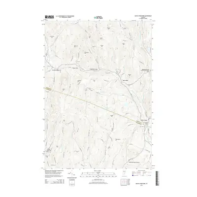
2015 Map of South Strafford
USGS Topo · Published 2015About this map
The Ompompanoosuc River and its West Branch carve through a landscape of high ridges and narrow valleys along the boundary of Orange and Windsor Counties. This 2015 survey reveals a terrain defined by historical industry and early settlements, where local history is preserved at the Thetford Center Covered Bridge and the Union Village Covered Bridge. The map traces the remnants of mining history at Copper Flat and Copperas Hill, while numerous family-named hills like Gove Hill and Richardson Hill suggest the deep roots of the local community. Genealogists can locate several burial grounds, including the Sawnee Bean Cem and Beaver Meadow Cem, which anchor the smaller hamlets. Settlement patterns follow the winding paths of Route 132 and New Boston Rd, connecting established villages like South Strafford and Thetford Center through a network of rural routes that still respect the complex topography of Morrill Mtn and Gile Mtn.
Find a feature on this map
108 named features on this map. Tap any name to fly to it.
Don’t see what you’re looking for? This feature index may not catch every label — zoom into the map to look around manually.
Map Details
Editions of this 2015 South Strafford Map
This is the sole edition of this map. No revisions or reprints were ever made.
Other maps of this area

1896 · Strafford
USGS Topo · 1:62,500

1906 · Hanover
USGS Topo · 1:62,500

1908 · Hanover
USGS Topo · 1:62,500

1927 · Mascoma
USGS Topo · 1:62,500

1931 · Mt. Cube
USGS Topo · 1:62,500

1932 · Mascoma
USGS Topo · 1:62,500

1933 · Mt. Cube
USGS Topo · 1:62,500

1944 · Strafford
USGS Topo · 1:62,500

1950 · Glens Falls
USGS Topo · 1:250,000

1956 · Glens Falls
USGS Topo · 1:250,000