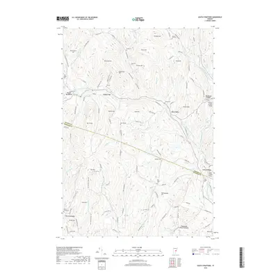
2018 Map of South Strafford
USGS Topo · Published 2018About this map
The West Branch Ompompanoosuc River and its numerous tributaries define this corner of Orange Co and Windsor Co, where the landscape is a complex network of named peaks and narrow valleys. Small settlements like South Strafford, Thetford Center, and Union Village are connected by a web of rural routes including the Justin Morrill Memorial Hwy. The map documents a deeply established Vermont community through its many family-named landmarks, such as Grannyhand Hill and Richardson Hill, and multiple small burial grounds like Dow Cem and Clough Cem. Local infrastructure is highlighted by two historic spans: the Thetford Center Covered Bridge and the Union Village Covered Bridge. From the heights of Gile Mtn to the lowlands surrounding Mud Pond, the survey captures the area's transition between working timberland and quiet residential hamlets.
Find a feature on this map
116 named features on this map. Tap any name to fly to it.
Don’t see what you’re looking for? This feature index may not catch every label — zoom into the map to look around manually.
Map Details
Editions of this 2018 South Strafford Map
This is the sole edition of this map. No revisions or reprints were ever made.
Other maps of this area

1896 · Strafford
USGS Topo · 1:62,500

1906 · Hanover
USGS Topo · 1:62,500

1908 · Hanover
USGS Topo · 1:62,500

1927 · Mascoma
USGS Topo · 1:62,500

1931 · Mt. Cube
USGS Topo · 1:62,500

1932 · Mascoma
USGS Topo · 1:62,500

1933 · Mt. Cube
USGS Topo · 1:62,500

1944 · Strafford
USGS Topo · 1:62,500

1950 · Glens Falls
USGS Topo · 1:250,000

1956 · Glens Falls
USGS Topo · 1:250,000