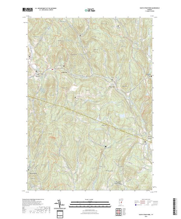
2024 Map of South Strafford
USGS Topo · Published 2024About this map
The West Branch Ompompanoosuc River and its numerous tributaries, including Lord Brook and Avery Brook, define the drainage patterns of this Vermont landscape along the border of Orange and Windsor counties. The settlement pattern is characterized by small clusters like South Strafford and Thetford Center, connected by a network of named rural roads such as Alger Brook Rd and Skunk Hollow Rd.
Find a feature on this map
113 named features on this map. Tap any name to fly to it.
Don’t see what you’re looking for? This feature index may not catch every label — zoom into the map to look around manually.
Map Details
Editions of this 2024 South Strafford Map
This is the sole edition of this map. No revisions or reprints were ever made.
Other maps of this area

1896 · Strafford
USGS Topo · 1:62,500

1906 · Hanover
USGS Topo · 1:62,500

1908 · Hanover
USGS Topo · 1:62,500

1927 · Mascoma
USGS Topo · 1:62,500

1931 · Mt. Cube
USGS Topo · 1:62,500

1932 · Mascoma
USGS Topo · 1:62,500

1933 · Mt. Cube
USGS Topo · 1:62,500

1944 · Strafford
USGS Topo · 1:62,500

1950 · Glens Falls
USGS Topo · 1:250,000

1956 · Glens Falls
USGS Topo · 1:250,000