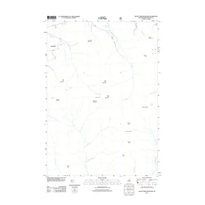
2012 Map of South Twin Mountain
USGS Topo · Published 2012About this map
Galehead Hut and Mount Guyot Shelter stand as key waypoints in this high-elevation area of Grafton County, where the landscape is defined by the massive profiles of North Twin Mountain and South Twin Mountain. The terrain is deeply carved by a network of drainages including the N Br Gale River, Lincoln Brook, and the N Fork E Br Pemigewasset River. While the small settlement of Deerfield and the Littleton Reservoir occupy the lower elevations to the northwest, the majority of the map is a remote wilderness of ridges like Zealand Ridge and notable summits such as Mount Garfield and Mount Bond. Significant water features like Thirteen Falls and Hawthorne Falls underscore the steep drops and rapid drainage characteristic of the White Mountain interior.
Find a feature on this map
40 named features on this map. Tap any name to fly to it.
Don’t see what you’re looking for? This feature index may not catch every label — zoom into the map to look around manually.
Map Details
Editions of this 2012 South Twin Mountain Map
This is the sole edition of this map. No revisions or reprints were ever made.
Other maps of this area

1893 · Mt. Washington
USGS Topo · 1:62,500

1895 · Crawford Notch
USGS Topo · 1:62,500

1896 · Mt. Washington
USGS Topo · 1:62,500

1896 · Crawford Notch
USGS Topo · 1:62,500

1900 · Whitefield
USGS Topo · 1:62,500

1929 · Franconia
USGS Topo · 1:62,500

1932 · Franconia
USGS Topo · 1:62,500

1935 · Whitefield
USGS Topo · 1:48,000

1935 · Mt. Washington
USGS Topo · 1:62,500
1938 · Mt. Washington
USGS Topo · 1:62,500