2023 Map of South Vienna
USGS Topo · Published 2023About this map
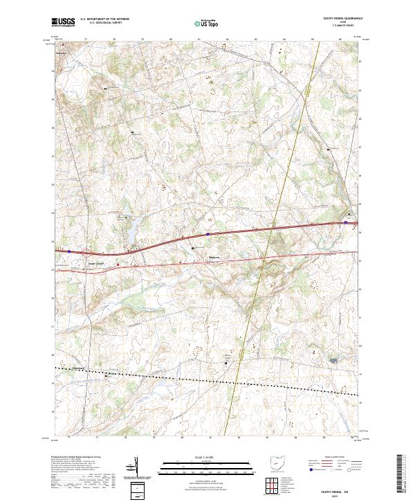
The village of South Vienna serves as a central hub in this section of Clark County, situated where the National Pike bisects the landscape. The surrounding agricultural terrain is defined by a complex network of drainage and small waterways, including the North Fork Little Miami River and numerous engineered channels like the W G Wilson Ditch and George C Wilson Ditch. This 2023 survey illustrates how modern transit routes, such as the Urbana-London Rd and S Urbana Lisbon Rd, follow historic corridors connecting established hamlets.
Find a feature on this map
68 named features on this map. Tap any name to fly to it.
Don’t see what you’re looking for? This feature index may not catch every label — zoom into the map to look around manually.
Map Details
Editions of this 2023 South Vienna Map
This is the sole edition of this map. No revisions or reprints were ever made.
Historical Maps of Plattsburg Through Time
1 maps found