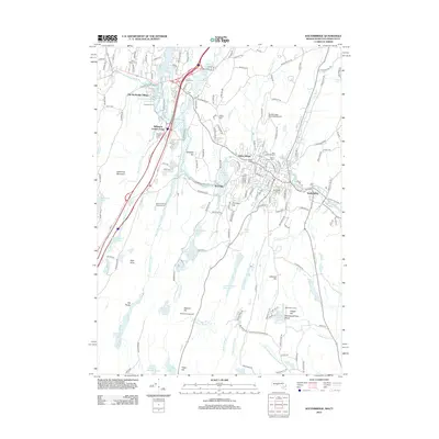
2012 Map of Southbridge
USGS Topo · Published 2012About this map
Old Sturbridge Village and the historic Freeman Farm anchor the northwest corner of this landscape, representing a preserved window into the region's early agrarian life. Flowing through the center of the terrain, the Quinebaug River links the settlements of Westville and Globe Village before reaching Sandersdale in the east. The water-rich environment is defined by a series of engineered basins including Westville Lake and the numbered reservoirs, which provided necessary resources for local industry and residential growth. Genealogists will find several significant burial grounds documented, such as Oak Ridge Cem and Saint Annes Cem. South of the town center, the terrain rises toward Hatchet Hill and Lebanon Hill, where the land transitions into a mix of recreational spaces like Manna Campground and protected areas like the Corbin Wildlife Marsh.
Find a feature on this map
161 named features on this map. Tap any name to fly to it.
Don’t see what you’re looking for? This feature index may not catch every label — zoom into the map to look around manually.
Map Details
Editions of this 2012 Southbridge Map
This is the sole edition of this map. No revisions or reprints were ever made.
Other maps of this area

1887 · Brookfield
USGS Topo · 1:62,500

1889 · Webster
USGS Topo · 1:62,500

1889 · Putnam
USGS Topo · 1:62,500

1890 · Brookfield
USGS Topo · 1:62,500

1892 · Woodstock
USGS Topo · 1:62,500

1892 · Webster
USGS Topo · 1:62,500

1893 · Putnam
USGS Topo · 1:62,500

1893 · Brookfield
USGS Topo · 1:62,500

1908 · Quinsigamond
USGS Topo · 1:125,000

1908 · Ware
USGS Topo · 1:125,000