
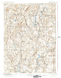
1892 Map of Woodstock
USGS Topo · Published 1892About this map
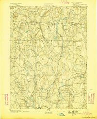
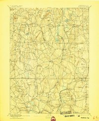
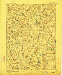
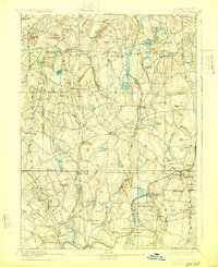
The Fenton River and Mount Hope River carve southward through this late nineteenth-century portrait of northeastern Connecticut, where mill villages and upland farming communities define the landscape. The New York and New England Railroad cuts across the lower right, serving depots at Hampton Station and Chaplin Station. This era shows a high density of named settlements such as Mansfield Center, Ashford, and Eastford, alongside many family-named heights like Stickney Hill and Wormwood Hill.
Find a feature on this map
71 named features on this map. Tap any name to fly to it.
Don’t see what you’re looking for? This feature index may not catch every label — zoom into the map to look around manually.
Map Details
Editions of this 1892 Woodstock Map
6 editions found
Other maps of this area

1887 · Brookfield
USGS Topo · 1:62,500

1887 · Palmer
USGS Topo · 1:62,500

1889 · Webster
USGS Topo · 1:62,500

1889 · Putnam
USGS Topo · 1:62,500

1889 · Palmer
USGS Topo · 1:62,500

1889 · Moosup
USGS Topo · 1:62,500

1890 · Brookfield
USGS Topo · 1:62,500

1892 · Webster
USGS Topo · 1:62,500

1892 · Tolland
USGS Topo · 1:62,500

1892 · Norwich
USGS Topo · 1:62,500