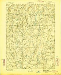
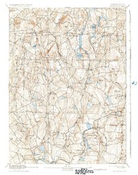
1892 Map of Woodstock
USGS Topo · Published 1898About this map
Mansfield Center and the surrounding highlands of eastern Connecticut appear here at the close of the 19th century, characterized by a dense network of hill-top settlements and valley mill sites. The topography is defined by the Natchaug River and Mount Hope River systems, which carved the corridors used by early industrial centers like Phoenixville and Gurleyville. While much of the region remained agricultural, the southern reaches show the influence of the New York and New England Railroad, connecting rural outposts like Hampton Station and Chaplin Station to larger markets.
Find a feature on this map
86 named features on this map. Tap any name to fly to it.
Don’t see what you’re looking for? This feature index may not catch every label — zoom into the map to look around manually.
Map Details
Editions of this 1892 Woodstock Map
6 editions found
Other maps of this area

1887 · Brookfield
USGS Topo · 1:62,500

1887 · Palmer
USGS Topo · 1:62,500

1889 · Webster
USGS Topo · 1:62,500

1889 · Putnam
USGS Topo · 1:62,500

1889 · Palmer
USGS Topo · 1:62,500

1889 · Moosup
USGS Topo · 1:62,500

1890 · Brookfield
USGS Topo · 1:62,500

1892 · Woodstock
USGS Topo · 1:62,500

1892 · Webster
USGS Topo · 1:62,500

1892 · Tolland
USGS Topo · 1:62,500