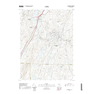
2021 Map of Southbridge
USGS Topo · Published 2021About this map
Southbridge and the industrial corridors of the Quinebaug River anchor this 2021 study of the Massachusetts-Connecticut border. The landscape is defined by its complex water systems, from the series of reservoirs like Number One Reservoir and Number Two Reservoir supplying the town, to the sprawling Great Cedar Swamp in the south. The historical character of the area is preserved at Old Sturbridge Village, while the modern infrastructure of the Southbridge Municipal Airport and the Norwich Worcester Line rail corridor indicates the region's continuing commercial importance.
Find a feature on this map
70 named features on this map. Tap any name to fly to it.
Don’t see what you’re looking for? This feature index may not catch every label — zoom into the map to look around manually.
Map Details
Editions of this 2021 Southbridge Map
This is the sole edition of this map. No revisions or reprints were ever made.
Other maps of this area

1887 · Brookfield
USGS Topo · 1:62,500

1889 · Webster
USGS Topo · 1:62,500

1889 · Putnam
USGS Topo · 1:62,500

1890 · Brookfield
USGS Topo · 1:62,500

1892 · Woodstock
USGS Topo · 1:62,500

1892 · Webster
USGS Topo · 1:62,500

1893 · Putnam
USGS Topo · 1:62,500

1893 · Brookfield
USGS Topo · 1:62,500

1908 · Quinsigamond
USGS Topo · 1:125,000

1908 · Ware
USGS Topo · 1:125,000