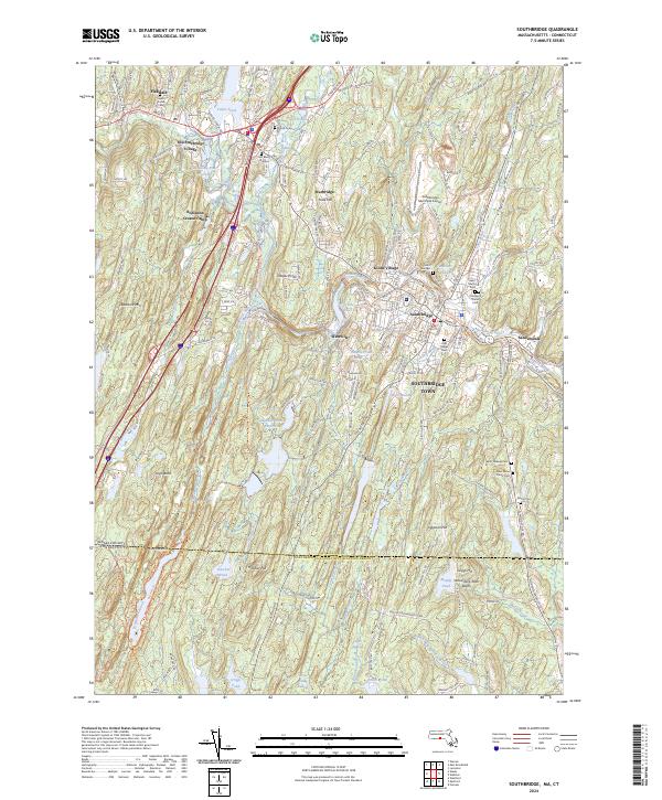
2024 Map of Southbridge
USGS Topo · Published 2024About this map
The Quinebaug River winds through this southern Worcester County landscape, shaping the industrial and residential development of Southbridge Town and the neighboring village of Sturbridge. The area is characterized by its historical manufacturing roots, evident in the cluster of settlements like Sandersdale and Globe Village. A significant portion of the terrain is dedicated to preserved history and recreation, notably at Old Sturbridge Village and the Robinson Crusoe Camp near Cedar Pond.
Find a feature on this map
61 named features on this map. Tap any name to fly to it.
Don’t see what you’re looking for? This feature index may not catch every label — zoom into the map to look around manually.
Map Details
Editions of this 2024 Southbridge Map
This is the sole edition of this map. No revisions or reprints were ever made.
Other maps of this area

1887 · Brookfield
USGS Topo · 1:62,500

1889 · Webster
USGS Topo · 1:62,500

1889 · Putnam
USGS Topo · 1:62,500

1890 · Brookfield
USGS Topo · 1:62,500

1892 · Woodstock
USGS Topo · 1:62,500

1892 · Webster
USGS Topo · 1:62,500

1893 · Putnam
USGS Topo · 1:62,500

1893 · Brookfield
USGS Topo · 1:62,500

1908 · Quinsigamond
USGS Topo · 1:125,000

1908 · Ware
USGS Topo · 1:125,000