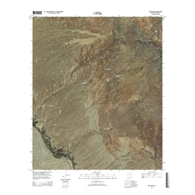
2014 Map of Soza Mesa
USGS Topo · Published 2014About this map
Soza Mesa rises as a dominant landform in this desert reach of Cochise County, defined by a complex network of canyons and seasonal washes. To the west, the San Pedro River corridor marks the primary drainage, intersected by Soza Wash and the deeply incised Hot Springs Canyon. This 2014 survey documents the modern ranching and residential infrastructure, with roads like N Casabel Rd and W Sage Hill Rd providing access across the arid terrain.
Find a feature on this map
33 named features on this map. Tap any name to fly to it.
Don’t see what you’re looking for? This feature index may not catch every label — zoom into the map to look around manually.
Map Details
Editions of this 2014 Soza Mesa Map
This is the sole edition of this map. No revisions or reprints were ever made.
Other maps of this area

1943 · Dragoon
USGS Topo · 1:62,500

1943 · Winchester Mts.
USGS Topo · 1:62,500

1945 · Redington
USGS Topo · 1:62,500

1945 · Winchester Mts.
USGS Topo · 1:62,500

1945 · Happy Valley
USGS Topo · 1:62,500

1956 · Tucson
USGS Topo · 1:250,000

1957 · Redington
USGS Topo · 1:62,500

1957 · Winchester Mts.
USGS Topo · 1:62,500

1958 · Tucson
USGS Topo · 1:250,000

1958 · Happy Valley
USGS Topo · 1:62,500