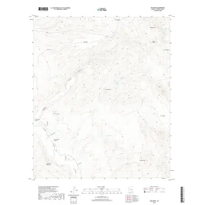
2018 Map of Soza Mesa
USGS Topo · Published 2018About this map
The San Pedro River corridor defines the western edge of this desert landscape, where the foothills of the Little Rincon Mountains rise toward a high plateau. This U.S. Geological Survey study details the drainage systems of Teran Wash and Pool Wash as they carve through the arid basin. The land is characterized by prominent elevations such as Wildcat Peak and Sierra Blanca, punctuated by isolated water sources including Wildcat Spring and Hackberry Spring. Cultural indicators are sparse, primarily consisting of a network of local tracks like N Casabel Rd and N Ocotillo Valley Rd that navigate the varied terrain of Soza Mesa. The map illustrates a rural Arizona environment where topographic features like Bass Canyon and Teran Basin dictate the location of roads and remaining springs in an otherwise water-scarce region.
Find a feature on this map
38 named features on this map. Tap any name to fly to it.
Don’t see what you’re looking for? This feature index may not catch every label — zoom into the map to look around manually.
Map Details
Editions of this 2018 Soza Mesa Map
This is the sole edition of this map. No revisions or reprints were ever made.
Other maps of this area

1943 · Dragoon
USGS Topo · 1:62,500

1943 · Winchester Mts.
USGS Topo · 1:62,500

1945 · Redington
USGS Topo · 1:62,500

1945 · Winchester Mts.
USGS Topo · 1:62,500

1945 · Happy Valley
USGS Topo · 1:62,500

1956 · Tucson
USGS Topo · 1:250,000

1957 · Redington
USGS Topo · 1:62,500

1957 · Winchester Mts.
USGS Topo · 1:62,500

1958 · Tucson
USGS Topo · 1:250,000

1958 · Happy Valley
USGS Topo · 1:62,500