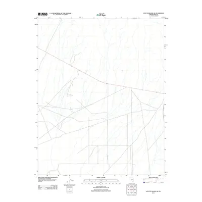
2012 Map of Specter Range SW
USGS Topo · Published 2012About this map
95 cuts diagonally across this high desert landscape in Nye County, providing a primary thoroughfare through the arid expanse of the Specter Range. The transportation network is defined by the intersection of major transit routes and a localized grid, most notably the north-south alignment of Crystal Hwy. The area exhibits a distinct transition from the engineered geometry of desert roadways to the complex, natural drainage patterns that dominate the northern and eastern portions of the quadrangle. This 2012 survey documents the region's infrastructure just south of the Specter Range, illustrating the spatial relationship between modern highway development and the unyielding terrain of the Nevada desert.
Find a feature on this map
2 named features on this map. Tap any name to fly to it.
Don’t see what you’re looking for? This feature index may not catch every label — zoom into the map to look around manually.
Map Details
Editions of this 2012 Specter Range SW Map
This is the sole edition of this map. No revisions or reprints were ever made.
Other maps of this area

1908 · Furnace Creek
USGS Topo · 1:250,000

1910 · Furnace Creek
USGS Topo · 1:250,000

1942 · Skull Mountain
USGS Topo · 1:125,000

1948 · Death Valley
USGS Topo · 1:250,000

1952 · Ash Meadows
USGS Topo · 1:62,500

1952 · Specter Range
USGS Topo · 1:62,500

1954 · Death Valley
USGS Topo · 1:250,000

1956 · Death Valley
USGS Topo · 1:250,000

1957 · Death Valley
USGS Topo · 1:250,000

1958 · Death Valley
USGS Topo · 1:250,000