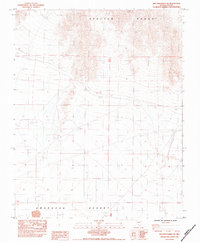
1984 Map of Specter Range SW
USGS Topo · Published 1984About this map
The Specter Range rises above the arid expanse of the Amargosa Desert in this 1980s provisional study of Nye County. The landscape is defined by resource extraction and early infrastructure, notably marked by an Old Railroad Grade that cuts across the northern terrain. This corridor is punctuated by numerous mining excavations, labeled simply as Prospect or Prospects, indicating a period of active mineral exploration.
Find a feature on this map
12 named features on this map. Tap any name to fly to it.
Don’t see what you’re looking for? This feature index may not catch every label — zoom into the map to look around manually.
Map Details
Editions of this 1984 Specter Range SW Map
This is the sole edition of this map. No revisions or reprints were ever made.
Other maps of this area

1908 · Furnace Creek
USGS Topo · 1:250,000

1910 · Furnace Creek
USGS Topo · 1:250,000

1942 · Skull Mountain
USGS Topo · 1:125,000

1948 · Death Valley
USGS Topo · 1:250,000

1952 · Ash Meadows
USGS Topo · 1:62,500

1952 · Specter Range
USGS Topo · 1:62,500

1954 · Death Valley
USGS Topo · 1:250,000

1956 · Death Valley
USGS Topo · 1:250,000

1957 · Death Valley
USGS Topo · 1:250,000

1958 · Death Valley
USGS Topo · 1:250,000