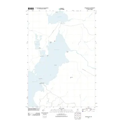
2011 Map of Spencer Bay
USGS Topo · Published 2011About this map
Moosehead Lake dominates this northern Maine landscape, where the waters narrow and several islands like Fox Island and Togue Island break the surface. The map documents a remote region of Piscataquis County defined by its seasonal recreation and managed waters. Points of access for travelers and sporting enthusiasts include the Spencer Pond Camps in the north and Caseys Spencer Bay Campground near Stevens Point.
Find a feature on this map
30 named features on this map. Tap any name to fly to it.
Don’t see what you’re looking for? This feature index may not catch every label — zoom into the map to look around manually.
Map Details
Editions of this 2011 Spencer Bay Map
This is the sole edition of this map. No revisions or reprints were ever made.
Other maps of this area

1920 · Moosehead Lake
USGS Topo · 1:62,500

1922 · Moosehead Lake
USGS Topo · 1:62,500

1930 · Moosehead Lake
USGS Topo · 1:62,500

1944 · Moosehead Lake
USGS Topo · 1:62,500

1952 · First Roach Pond
USGS Topo · 1:62,500

1954 · North East Carry
USGS Topo · 1:62,500

1954 · Grant Farm
USGS Topo · 1:62,500

1954 · Millinocket
USGS Topo · 1:250,000

1957 · Moosehead Lake
USGS Topo · 1:62,500

1958 · Millinocket
USGS Topo · 1:250,000
Featured Places
- East Middlesex Canal Grant Township, ME
- Lily Bay Township, ME
- Spencer Bay Township, ME
- Days Academy Grant Township, ME
- Piscataquis County, ME