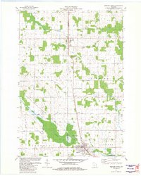
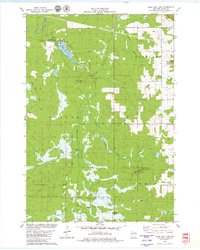
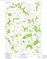
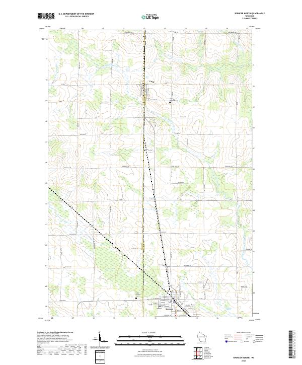
1981 Map of Spencer North
USGS Topo · Published 1983About this map
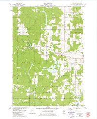
Unity and Spencer anchor this 1980s landscape straddling the line between Clark and Marathon counties. The region’s economic and geographic structure is defined by the Soo Line railroad, which runs vertically through the center, paralleling the boundary between Unity and Brighton townships. This transportation corridor connects the small settlements and supports the surrounding agricultural grid, which is interrupted by significant natural wetlands to the south.
Find a feature on this map
37 named features on this map. Tap any name to fly to it.
Don’t see what you’re looking for? This feature index may not catch every label — zoom into the map to look around manually.
Map Details
Editions of this 1981 Spencer North Map
This is the sole edition of this map. No revisions or reprints were ever made.
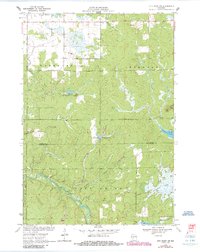
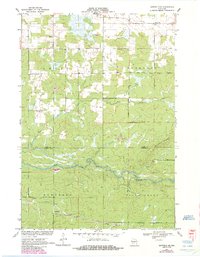
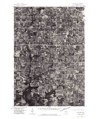
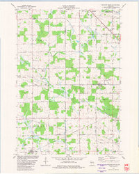
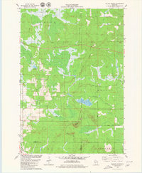
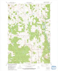
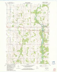
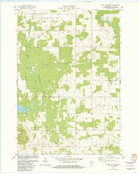
Historical Maps of Spencer Through Time
29 maps found
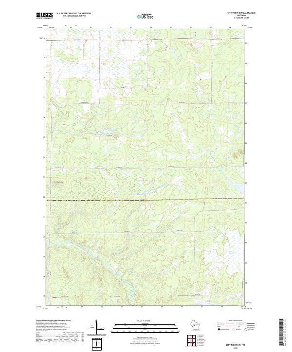
1970 City Point NW
Clark County, WI
1970 Hatfield NE
Clark County, WI
1976 Stanley NE
Clark County, WI
1979 Columbia
Clark County, WI
1979 Loyal East
Clark County, WI
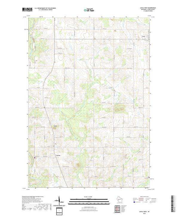
1979 Loyal West
Clark County, WI
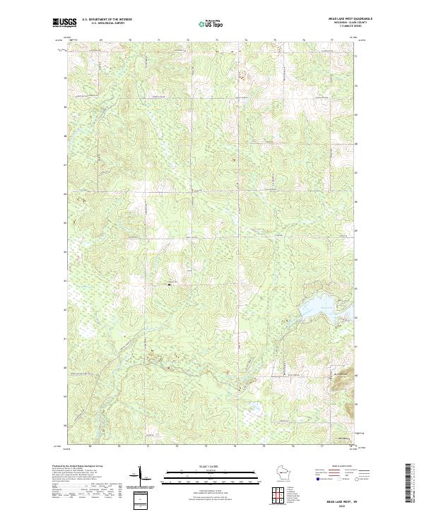
1979 Mead Lake West
Clark County, WI
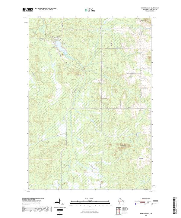
1979 Rock Dam Lake
Clark County, WI
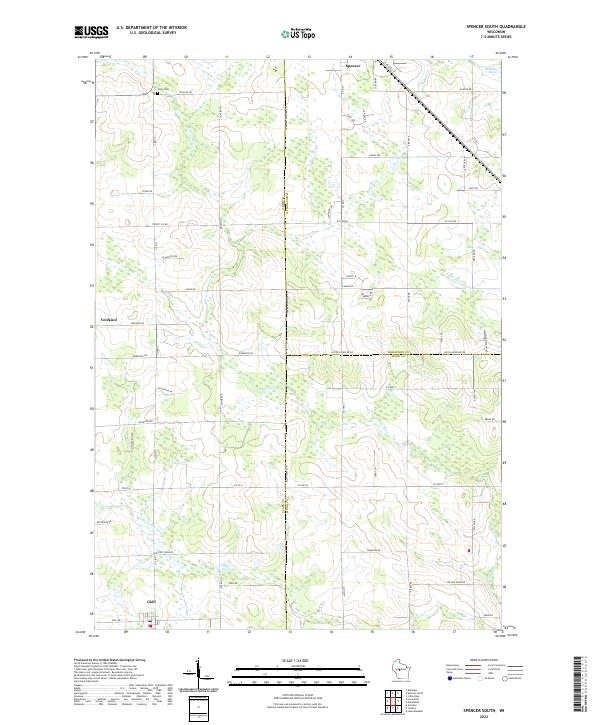
1979 Spencer South
Clark County, WI
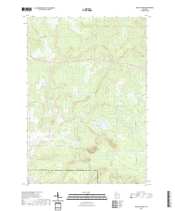
1979 Wildcat Mound
Clark County, WI
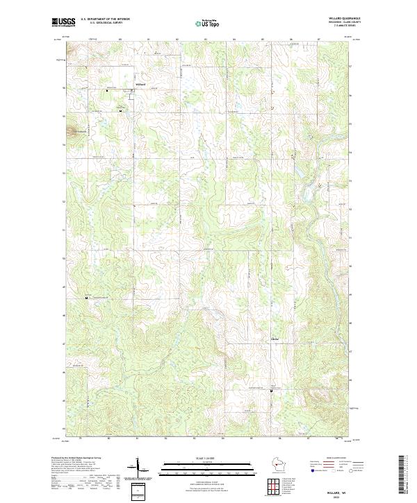
1979 Willard
Clark County, WI
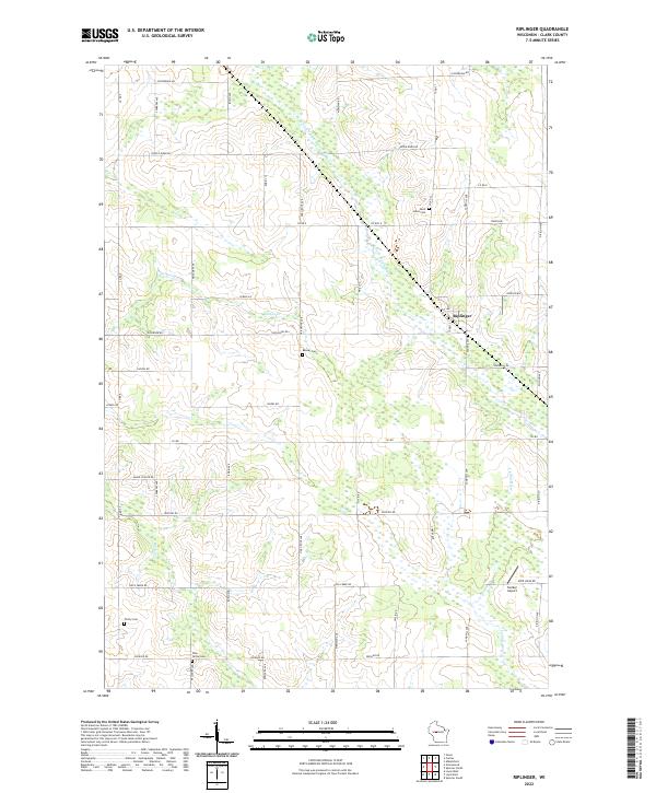
1981 Riplinger
Clark County, WI
1981 Spencer North
Clark County, WI
1982 Lombard
Clark County, WI
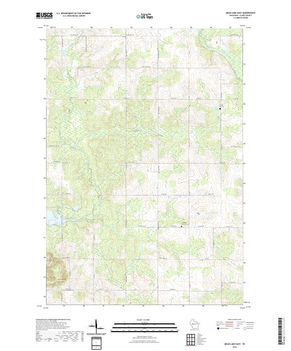
1982 Mead Lake East
Clark County, WI
2022 City Point NW
Clark County, WI
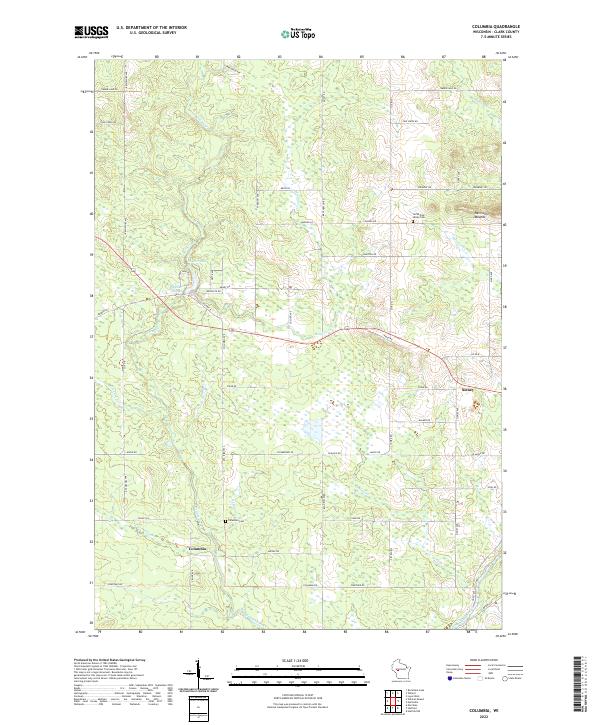
2022 Columbia
Clark County, WI
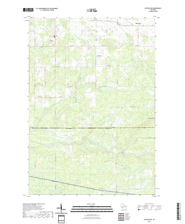
2022 Hatfield NE
Clark County, WI
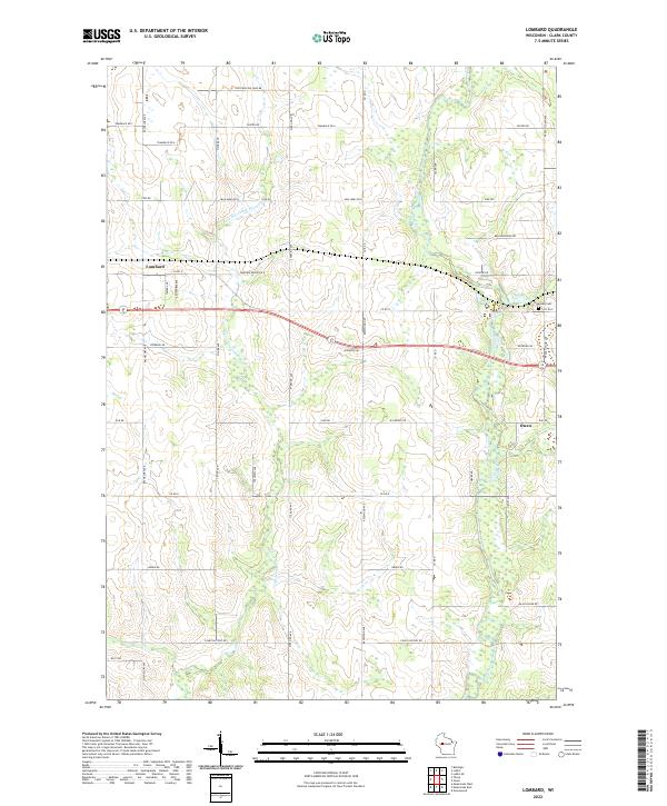
2022 Lombard
Clark County, WI
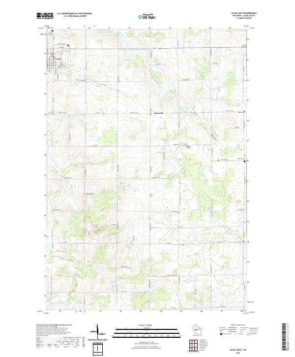
2022 Loyal East
Clark County, WI
2022 Loyal West
Clark County, WI
2022 Mead Lake East
Clark County, WI
2022 Mead Lake West
Clark County, WI
2022 Riplinger
Clark County, WI
2022 Rock Dam Lake
Clark County, WI
2022 Spencer North
Clark County, WI
2022 Spencer South
Clark County, WI
2022 Wildcat Mound
Clark County, WI
2022 Willard
Clark County, WI