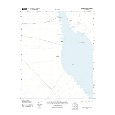
2012 Map of Spirit Mountain NW
USGS Topo · Published 2012About this map
Lake Mohave dominates this desert landscape along the Nevada-Arizona border, filling the Cottonwood Valley within the Lake Mead National Rec Area. The shoreline is intricately detailed with dozens of named inlets, including the recreational hub at Cottonwood Cove and more remote spots like Hog Farm Cove and Tequila Cove. Near the water's edge, the Cottonwood Cove Rural Branch Post Office and the Cottonwood Landing Field indicate the area's development as a destination for boaters and aviators.
Find a feature on this map
37 named features on this map. Tap any name to fly to it.
Don’t see what you’re looking for? This feature index may not catch every label — zoom into the map to look around manually.
Map Details
Editions of this 2012 Spirit Mountain NW Map
This is the sole edition of this map. No revisions or reprints were ever made.
Other maps of this area

1886 · Camp Mohave
USGS Topo · 1:250,000

1892 · Camp Mohave
USGS Topo · 1:250,000

1926 · Nelson
USGS Topo · 1:96,000

1926 · Mohave City
USGS Topo · 1:96,000

1942 · Camp Mohave
USGS Topo · 1:250,000

1947 · Kingman
USGS Topo · 1:250,000

1948 · Kingman
USGS Topo · 1:250,000

1954 · Kingman
USGS Topo · 1:250,000

1955 · Kingman
USGS Topo · 1:250,000

1958 · Kingman
USGS Topo · 1:250,000