2022 Map of Splendora
USGS Topo · Published 2022About this map
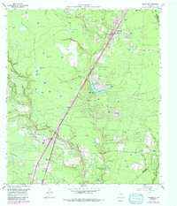
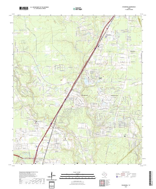
Peach Creek and Caney Creek weave through this corridor of East Texas, defining a landscape shaped by dense water networks and the expansion of the Houston metropolitan fringe. The area is characterized by a high concentration of family and community burial grounds, such as the Mizell Cem, Kidd Cem, and the Robinson McFadden Cem, which offer significant touchpoints for genealogical research. Residential patterns are marked by established communities like Splendora and Patton Village, alongside numerous ponds such as Long Pond and Big Dinah Pond that dot the low-lying terrain. The infrastructure reflects a region in transition, where the historic Old Hwy 59 and Railroad Ave parallel the modern high-speed transit of the Interstate 69 corridor. Smaller enclaves like Woodbranch and Roman Forest demonstrate the 20th-century residential development that has nested within the bends of the local creeks.
Find a feature on this map
242 named features on this map. Tap any name to fly to it.
Don’t see what you’re looking for? This feature index may not catch every label — zoom into the map to look around manually.
Map Details
Editions of this 2022 Splendora Map
This is the sole edition of this map. No revisions or reprints were ever made.