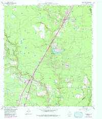
1959 Map of Splendora
USGS Topo · Published 1991About this map
Peach Creek meanders through this portion of Montgomery County, providing the primary drainage for a landscape dotted with countless named ponds and local watercourses like Caney Creek. The area shows a transition from agricultural and timbered lands toward early suburbanization, evidenced by the growth of Patton Village, Woodbranch Village, and Roman Forest. The Splendora Oil Field remains a prominent feature, with scattered sludge pits and pumping stations marking the local extraction industry.
Find a feature on this map
64 named features on this map. Tap any name to fly to it.
Don’t see what you’re looking for? This feature index may not catch every label — zoom into the map to look around manually.
Map Details
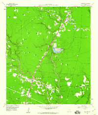
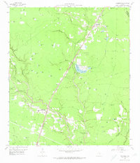
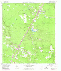
Editions of this 1959 Splendora Map
4 editions found
Other maps of this area

1916 · Moonshine Hill
USGS Topo · 1:24,000

1916 · Huffman
USGS Topo · 1:24,000

1919 · Weeden
USGS Topo · 1:31,680

1920 · Moonshine Hill
USGS Topo · 1:31,680

1920 · Huffman
USGS Topo · 1:31,680

1954 · Beaumont
USGS Topo · 1:250,000

1957 · Beaumont
USGS Topo · 1:250,000

1958 · Fostoria
USGS Topo · 1:24,000

1958 · Cleveland
USGS Topo · 1:24,000

1959 · Plum Grove
USGS Topo · 1:24,000