
1959 Map of Plum Grove
USGS Topo · Published 1960About this map
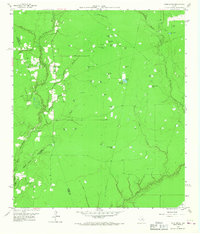
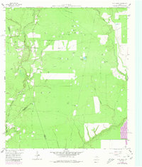
Plum Grove and its surrounding wetlands occupy a landscape defined by an intricate network of waterways at the intersection of Liberty, Montgomery, and Harris counties. The East Fork San Jacinto River carves through the western edge of the quadrangle, while Tarkington Bayou and Luce Bayou drain the southeastern lowlands. This mid-century survey reveals a territory dense with named watering holes and depressions, such as Alligator Pond, Bird Pond, and Wesley Grey Pond, many bearing family names that provide significant leads for local genealogical research.
Find a feature on this map
42 named features on this map. Tap any name to fly to it.
Don’t see what you’re looking for? This feature index may not catch every label — zoom into the map to look around manually.
Map Details
Editions of this 1959 Plum Grove Map
Other maps of this area

1916 · Moonshine Hill
USGS Topo · 1:24,000

1916 · Huffman
USGS Topo · 1:24,000

1920 · Moonshine Hill
USGS Topo · 1:31,680

1920 · Huffman
USGS Topo · 1:31,680

1943 · Liberty
USGS Topo · 1:125,000

1954 · Beaumont
USGS Topo · 1:250,000

1955 · Rayburn
USGS Topo · 1:62,500

1955 · Liberty
USGS Topo · 1:62,500

1957 · Beaumont
USGS Topo · 1:250,000

1958 · Fostoria
USGS Topo · 1:24,000