
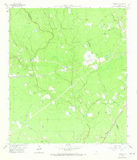
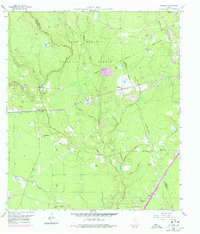
1958 Map of Fostoria
USGS Topo · Published 1959About this map
Sam Houston National Forest dominates this 1950s landscape, where dense timber and creek bottoms define the rural character of the Montgomery and San Jacinto county line. The timber industry's footprint is evident at Fostoria, a settlement centered on the Gulf Colorado and Santa Fe railroad line. This rail corridor serves as a primary axis through the forest, connecting small outposts like Security and its associated Security Siding. To the south, the Texas and New Orleans line passes through Midline, highlighting a secondary transit route. Away from the rails, a network of country churches including Calvary Ch and Pilgrim Rest Ch and quiet burial grounds like Morgan Cem and Pin Oak Cem dot the landscape. The terrain is intricately carved by Peach Creek and its many tributaries, such as Whisky Branch and Jayhawker Creek, which feed numerous named water bodies like Chapman Ponds and Big Pond.
Find a feature on this map
44 named features on this map. Tap any name to fly to it.
Don’t see what you’re looking for? This feature index may not catch every label — zoom into the map to look around manually.
Map Details
Editions of this 1958 Fostoria Map
3 editions found
Other maps of this area

1954 · Beaumont
USGS Topo · 1:250,000

1957 · Beaumont
USGS Topo · 1:250,000

1958 · Cleveland
USGS Topo · 1:24,000

1958 · Westcott
USGS Topo · 1:24,000

1958 · Bear Creek
USGS Topo · 1:24,000

1959 · Plum Grove
USGS Topo · 1:24,000

1959 · Outlaw Pond
USGS Topo · 1:24,000

1959 · Cut and Shoot
USGS Topo · 1:24,000

1959 · Conroe NE
USGS Topo · 1:24,000
1959 · Splendora
USGS Topo · 1:24,000