
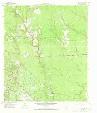
1959 Map of Cut and Shoot
USGS Topo · Published 1960About this map
The southern reaches of the Sam Houston National Forest meet a busy mid-century landscape of timber, oil, and small Texas settlements. The oddly named Cut and Shoot serves as a local hub alongside other rural communities like Waukegan and Grangerland. This era is defined by the heavy footprint of the Conroe Oil Field, where a dense network of roads and pipelines services a landscape dotted with a Refinery and numerous sludge pits.
Find a feature on this map
40 named features on this map. Tap any name to fly to it.
Don’t see what you’re looking for? This feature index may not catch every label — zoom into the map to look around manually.
Map Details
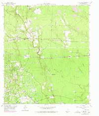
Editions of this 1959 Cut and Shoot Map
3 editions found
Other maps of this area

1954 · Beaumont
USGS Topo · 1:250,000

1957 · Beaumont
USGS Topo · 1:250,000

1958 · Conroe
USGS Topo · 1:24,000

1958 · Fostoria
USGS Topo · 1:24,000

1958 · Bear Creek
USGS Topo · 1:24,000

1959 · Outlaw Pond
USGS Topo · 1:24,000

1959 · Conroe NE
USGS Topo · 1:24,000
1959 · Splendora
USGS Topo · 1:24,000

1960 · Willis
USGS Topo · 1:24,000
1961 · Tamina
USGS Topo · 1:24,000