
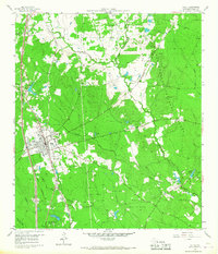
1960 Map of Willis
USGS Topo · Published 1961About this map
Willis serves as the central hub in this early 1960s landscape, positioned where the Missouri Pacific railroad intersects with local transit routes. The town is marked by key community landmarks including the Turner High Sch and Pleasant Rose Ch. To the east, the vast Sam Houston National Forest dominates the terrain, bisected by Caney Creek and Camp Creek. This area illustrates a mid-century balance between timber resources and growing industrial activity, evidenced by a scattered Gas Field and numerous Gravel Pits north of Crystal Creek. Smaller outlying settlements like Esperanza and Mount Zion anchor the northern reaches, while recreational and youth organization sites, such as the Camp Agnes Arnold Girl Scout camp and the 7 Mile Caney picnic grounds, highlight the region's role as a retreat from the expanding Texas Gulf Coast centers.
Find a feature on this map
28 named features on this map. Tap any name to fly to it.
Don’t see what you’re looking for? This feature index may not catch every label — zoom into the map to look around manually.
Map Details
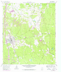
Editions of this 1960 Willis Map
3 editions found
Other maps of this area

1954 · Beaumont
USGS Topo · 1:250,000

1957 · Beaumont
USGS Topo · 1:250,000

1958 · Conroe
USGS Topo · 1:24,000

1958 · Cowl Spur
USGS Topo · 1:24,000

1958 · Lake Paula
USGS Topo · 1:24,000

1959 · Moore Grove
USGS Topo · 1:24,000

1959 · Cut and Shoot
USGS Topo · 1:24,000

1959 · Conroe NE
USGS Topo · 1:24,000

1960 · Maynard
USGS Topo · 1:24,000

1960 · New Waverly
USGS Topo · 1:24,000