
1960 Map of Maynard
USGS Topo · Published 1962About this map
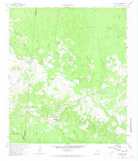
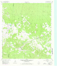
Sam Houston National Forest encompasses much of this landscape in the early 1960s, a territory defined by the winding course of Winters Bayou and its numerous tributaries. The settlement patterns reflect a rural community deeply tied to the land and local congregations, with a high density of small country churches including Pine Valley Ch, New Hope Ch, and Mt Pilgrim Ch. At the community of Maynard, a cluster of homes and several Gas Wells indicate the mix of residential life and early natural resource extraction in this corner of San Jacinto County.
Find a feature on this map
36 named features on this map. Tap any name to fly to it.
Don’t see what you’re looking for? This feature index may not catch every label — zoom into the map to look around manually.
Map Details
Editions of this 1960 Maynard Map
Other maps of this area

1954 · Beaumont
USGS Topo · 1:250,000

1957 · Beaumont
USGS Topo · 1:250,000

1958 · Bear Creek
USGS Topo · 1:24,000

1959 · Conroe NE
USGS Topo · 1:24,000

1960 · Willis
USGS Topo · 1:24,000

1960 · New Waverly
USGS Topo · 1:24,000

1960 · Stephen Creek
USGS Topo · 1:24,000

1960 · Coldspring
USGS Topo · 1:24,000

1960 · Phelps
USGS Topo · 1:24,000

1961 · Oakhurst
USGS Topo · 1:24,000