
1960 Map of New Waverly
USGS Topo · Published 1962About this map
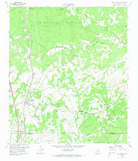
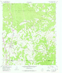
New Waverly serves as a central hub for this portion of Walker and Montgomery counties, situated along the Missouri Pacific railroad corridor. The landscape is heavily influenced by the Sam Houston National Forest, which blankets much of the northern and eastern terrain, including the watersheds of Winters Bayou and Caney Creek. In the early 1960s, rural life here revolved around numerous small community centers such as Elmina, Barado, and Hawthorne. For those researching local family history, the map provides precise locations for several burial grounds, including the St Joseph (Elmina) Cem, Mitchell Cem, and the secluded Boswell Cem near the eastern boundary. The transition from timbered forest lands to cleared agricultural plots is marked by a network of utility lines and an Old Railroad Grade, reflecting the changing industrial and transport infrastructure of the mid-20th century.
Find a feature on this map
41 named features on this map. Tap any name to fly to it.
Don’t see what you’re looking for? This feature index may not catch every label — zoom into the map to look around manually.
Map Details
Editions of this 1960 New Waverly Map
3 editions found
Other maps of this area

1954 · Beaumont
USGS Topo · 1:250,000

1957 · Beaumont
USGS Topo · 1:250,000

1958 · Lake Paula
USGS Topo · 1:24,000

1959 · Moore Grove
USGS Topo · 1:24,000

1959 · Conroe NE
USGS Topo · 1:24,000

1960 · Willis
USGS Topo · 1:24,000

1960 · Maynard
USGS Topo · 1:24,000

1960 · Phelps
USGS Topo · 1:24,000

1961 · Oakhurst
USGS Topo · 1:24,000
1963 · Huntsville
USGS Topo · 1:24,000