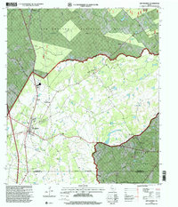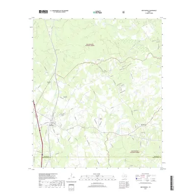
1960 Map of New Waverly
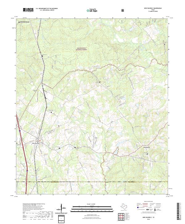
USGS Topo · Published 1973About this map
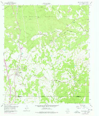
New Waverly serves as the focal point of this 1960 field-checked survey, situated along the Missouri Pacific railroad line at the edge of the Sam Houston National Forest. The landscape is a transition from the structured town center, featuring a High Sch and Athletic Field, to the heavily wooded timberlands of the forest. The presence of several family and community burial grounds, including Mitchell Cem, Gourd Creek Cem, and St Joseph (Elmina) Cem near the settlement of Elmina, provides significant data for genealogical research. The map captures the infrastructure of the era through a network of pipelines and the Old Railroad Grade winding through the eastern woods toward Hawthorne. Numerous watercourses like Winters Bayou and Caney Creek define the local topography, which supported both small-scale agriculture and timber interests.
Find a feature on this map
38 named features on this map. Tap any name to fly to it.
Don’t see what you’re looking for? This feature index may not catch every label — zoom into the map to look around manually.
Map Details
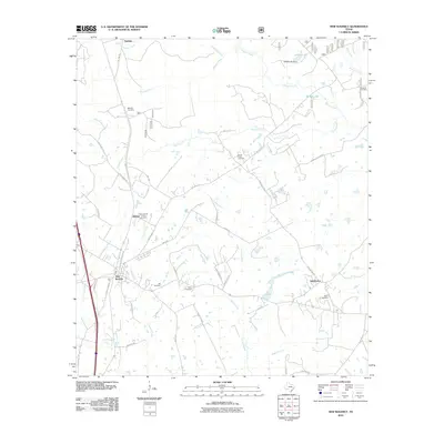
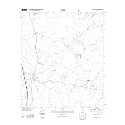
Editions of this 1960 New Waverly Map
3 editions found
Historical Maps of New Waverly Through Time
7 maps found