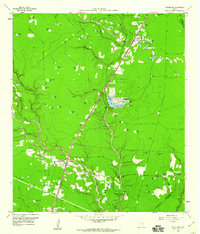
1959 Map of Splendora
USGS Topo · Published 1960About this map
The Splendora Oil Field dominates this mid-century landscape of Montgomery County, where industrial infrastructure and rural community life intersect. The Texas and New Orleans Railroad serves as the primary corridor, connecting the settlements of Splendora and New Caney through a terrain marked by numerous family-named ponds and small lakes like Patton Lake and Coleman Lake. This era shows a community rooted in local heritage, evidenced by several small burial grounds such as Mizell Cem and Kid Cem, alongside the Carver Sch and East River Ch. Further south, the map reveals the Houston and Harris County Camp for the Girl Scouts and a Union Encampment, suggesting the area's utility for organized recreation and social gatherings away from the busy Pumping Station and electrical Substation facilities that powered the local oil and rail economy.
Find a feature on this map
68 named features on this map. Tap any name to fly to it.
Don’t see what you’re looking for? This feature index may not catch every label — zoom into the map to look around manually.
Map Details
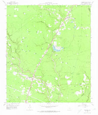
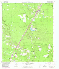
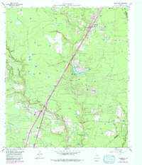
Editions of this 1959 Splendora Map
4 editions found
Other maps of this area

1916 · Moonshine Hill
USGS Topo · 1:24,000

1916 · Huffman
USGS Topo · 1:24,000

1919 · Weeden
USGS Topo · 1:31,680

1920 · Moonshine Hill
USGS Topo · 1:31,680

1920 · Huffman
USGS Topo · 1:31,680

1954 · Beaumont
USGS Topo · 1:250,000

1957 · Beaumont
USGS Topo · 1:250,000

1958 · Fostoria
USGS Topo · 1:24,000

1958 · Cleveland
USGS Topo · 1:24,000

1959 · Plum Grove
USGS Topo · 1:24,000