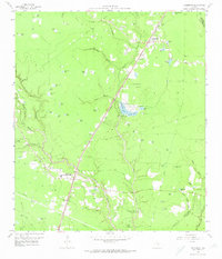
1959 Map of Splendora
USGS Topo · Published 1974About this map
The Texas and New Orleans Railroad serves as the central spine of this East Texas landscape, linking the growing communities of Splendora and New Caney. Situated near the junction of Montgomery, Liberty, and Harris counties, the area is defined by a dense network of named ponds and creeks, such as Peach Creek and Spring Branch, which wind through the terrain. The presence of the Splendora Oil Field, with its numerous sludge pits and an Artesian Well, highlights the mid-century industrial activity that shaped the local economy alongside timber and transport.
Find a feature on this map
67 named features on this map. Tap any name to fly to it.
Don’t see what you’re looking for? This feature index may not catch every label — zoom into the map to look around manually.
Map Details
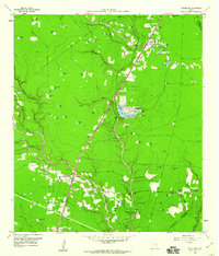
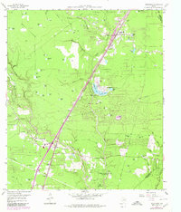
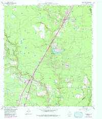
Editions of this 1959 Splendora Map
4 editions found
Other maps of this area

1916 · Moonshine Hill
USGS Topo · 1:24,000

1916 · Huffman
USGS Topo · 1:24,000

1919 · Weeden
USGS Topo · 1:31,680

1920 · Moonshine Hill
USGS Topo · 1:31,680

1920 · Huffman
USGS Topo · 1:31,680

1954 · Beaumont
USGS Topo · 1:250,000

1957 · Beaumont
USGS Topo · 1:250,000

1958 · Fostoria
USGS Topo · 1:24,000

1958 · Cleveland
USGS Topo · 1:24,000

1959 · Plum Grove
USGS Topo · 1:24,000