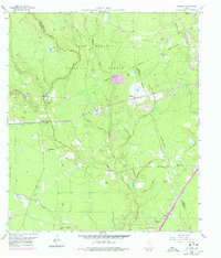
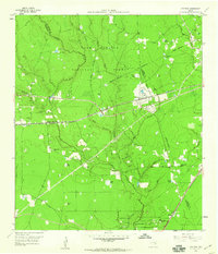
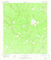
1958 Map of Fostoria
USGS Topo · Published 1978About this map
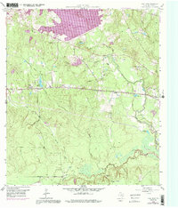
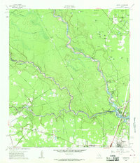
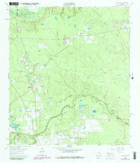
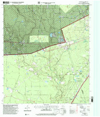
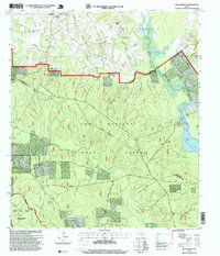
Sam Houston National Forest blankets the northern landscape of this 1958 survey, where the timber economy and rail infrastructure intersect near the Montgomery and Liberty county line. The Atchison Topeka and Santa Fe railroad cuts a straight path through the center of the sheet, serving small trackside communities like Security and Fostoria. This era reveals a region defined by its watercourses and rural gathering places, from the winding path of Peach Creek to local landmarks like Calvary Ch and Pilgrim Rest Ch. To the south, the Southern Pacific line passes near Midline, while scattered oil and gas wells indicate the expanding industrial footprint of the late 1950s. Genealogists will find value in the specific locations of the Morgan Cem and Pin Oak Cem, alongside numerous family-named ponds and branches.
Find a feature on this map
41 named features on this map. Tap any name to fly to it.
Don’t see what you’re looking for? This feature index may not catch every label — zoom into the map to look around manually.
Map Details
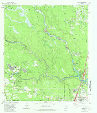
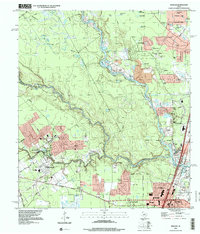
Editions of this 1958 Fostoria Map
3 editions found
Historical Maps of Cleveland Through Time
28 maps found
1919 Weeden
Montgomery County, TX
1958 Cowl Spur
Montgomery County, TX
1958 Fostoria
Montgomery County, TX
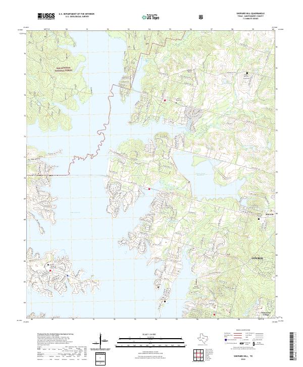
1958 Shepard Hill
Montgomery County, TX
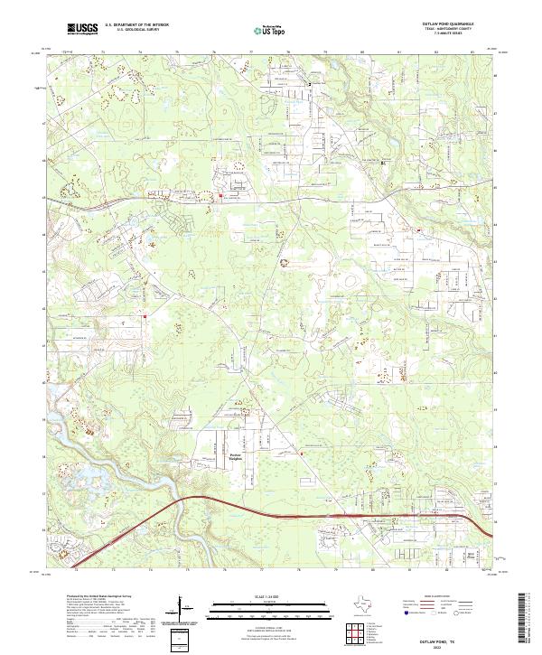
1959 Outlaw Pond
Montgomery County, TX
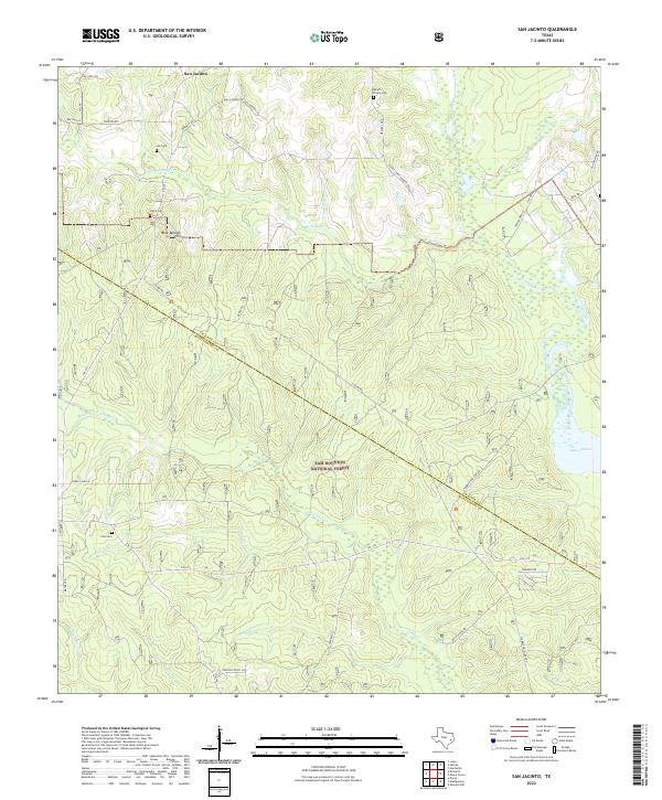
1959 San Jacinto
Montgomery County, TX
1961 Maedan
Montgomery County, TX
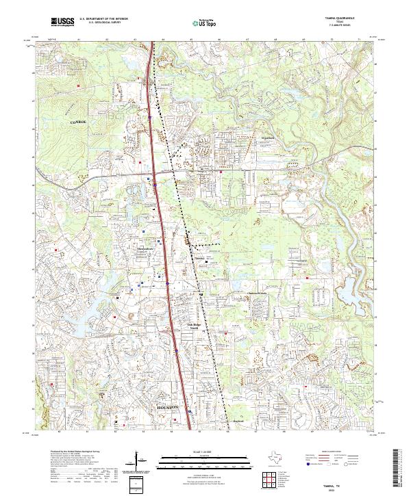
1961 Tamina
Montgomery County, TX
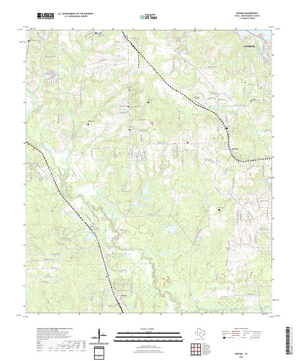
1962 Keenan
Montgomery County, TX
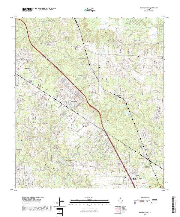
1962 Magnolia East
Montgomery County, TX
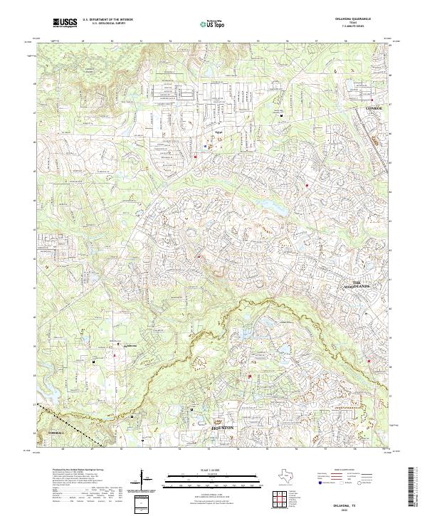
1962 Oklahoma
Montgomery County, TX
1982 Maedan
Montgomery County, TX
1995 Maedan
Montgomery County, TX
1997 Cut And Shoot
Montgomery County, TX
1997 Fostoria
Montgomery County, TX
1997 San Jacinto
Montgomery County, TX
1997 Shepard Hill
Montgomery County, TX
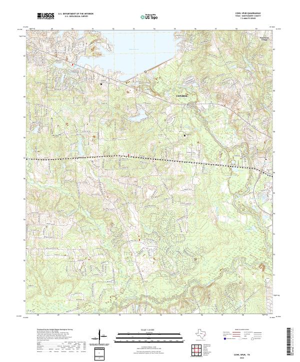
2022 Cowl Spur
Montgomery County, TX
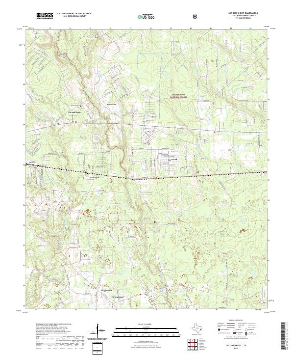
2022 Cut And Shoot
Montgomery County, TX
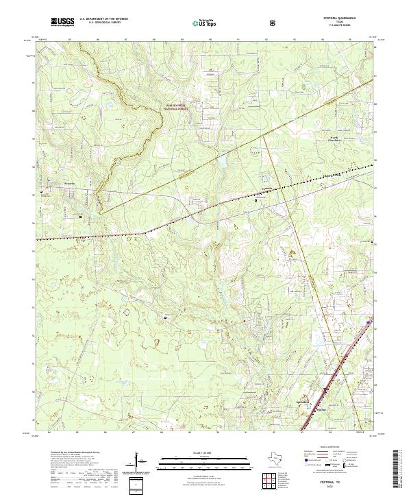
2022 Fostoria
Montgomery County, TX
2022 Keenan
Montgomery County, TX
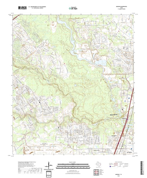
2022 Maedan
Montgomery County, TX
2022 Magnolia East
Montgomery County, TX
2022 Oklahoma
Montgomery County, TX
2022 Outlaw Pond
Montgomery County, TX
2022 San Jacinto
Montgomery County, TX
2022 Shepard Hill
Montgomery County, TX
2022 Tamina
Montgomery County, TX