
1943 Map of Liberty
USGS Topo · Published 1943About this map
The Trinity River snakes through the center of this terrain, anchoring a landscape defined by timber, oil, and early Texas settlement patterns. This reconnaissance, based on 1911 topography, details the transition of the Big Thicket from a wilderness into a productive industrial zone. Evidence of the region's logging era is everywhere, from the Cummings Logging Camp to the numerous mills in Milvid and Mill Town. The arrival of the Gulf Colorado and Santa Fe Railroad and the Beaumont Sour Lake and Western Railroad provided the necessary infrastructure for these industries to thrive.
Find a feature on this map
117 named features on this map. Tap any name to fly to it.
Don’t see what you’re looking for? This feature index may not catch every label — zoom into the map to look around manually.
Map Details
Editions of this 1943 Liberty Map
This is the sole edition of this map. No revisions or reprints were ever made.
Other maps of this area

1916 · Crosby
USGS Topo · 1:24,000

1916 · Huffman
USGS Topo · 1:24,000

1919 · Crosby
USGS Topo · 1:31,680

1920 · Huffman
USGS Topo · 1:31,680

1943 · Whites Bayou
USGS Topo · 1:24,000
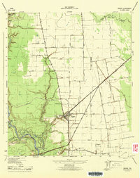
1944 · Crosby
USGS Topo · 1:31,680

1945 · Nolte
USGS Topo · 1:31,680

1950 · Houston
USGS Topo · 1:250,000
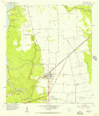
1954 · Crosby
USGS Topo · 1:24,000

1954 · Beaumont
USGS Topo · 1:250,000