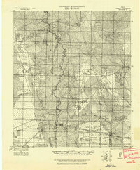
1955 Map of Liberty
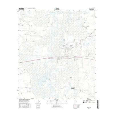
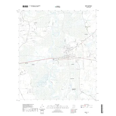
USGS Topo · Published 1957About this map
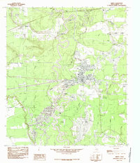
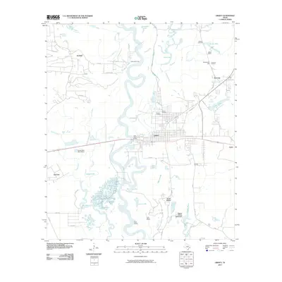
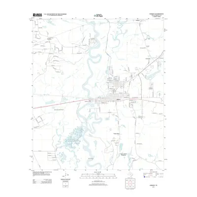
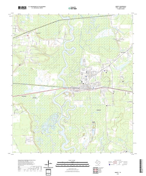
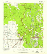
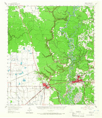
The Trinity River meanders through a landscape defined by industrial growth and agricultural heritage in this mid-century survey of southeast Texas. The river's serpentine course creates a complex network of oxbow lakes, including Horseshoe Lake and Lost Lake, while the neighboring North Dayton Oil Field and Hardin Oil Field underscore the importance of petroleum to the local economy. At the heart of the region, the city of Liberty and nearby Dayton serve as primary hubs, connected by the Southern Pacific railroad and the Old Spanish Trail. Smaller communities and landmarks like Kenefick, South Liberty, and the Colbert High Sch appear alongside numerous rural houses of worship such as St Josephs Ch and Mt Olive Ch, providing a detailed look at the settlement patterns before modern suburban expansion.
Find a feature on this map
83 named features on this map. Tap any name to fly to it.
Don’t see what you’re looking for? This feature index may not catch every label — zoom into the map to look around manually.
Map Details
Editions of this 1955 Liberty Map
2 editions found
Historical Maps of Liberty Through Time
8 maps found