
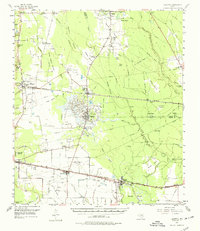
1955 Map of Daisetta
USGS Topo · Published 1956About this map
The salt dome and oil field operations of Daisetta and Hull dominate this mid-century survey of the Southeast Texas coastal plain. This industrial activity is deeply integrated into the landscape, evidenced by the Daisetta Swamp, numerous oil tanks, and the Merchant Drainage Canal that dissects the area. The map illustrates a region where timber and petroleum interests met the rural agricultural life of Liberty County. Small farming communities and family-named landmarks like Tanner Settlement and Hawkins Hill are scattered throughout the Long Island Woods, while the southern reaches show the influence of the Southern Pacific Railroad connecting Raywood and Devers. Traditional landmarks such as Sacred Heart Ch and Oak Dale Cem sit alongside more modern additions like the Magnolia Ridge Country Club and the Darrell Airport, capturing the post-war development of the Texas Gulf Coast.
Find a feature on this map
62 named features on this map. Tap any name to fly to it.
Don’t see what you’re looking for? This feature index may not catch every label — zoom into the map to look around manually.
Map Details
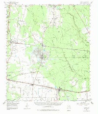
Editions of this 1955 Daisetta Map
3 editions found
Other maps of this area

1943 · Whites Bayou
USGS Topo · 1:24,000

1943 · Liberty
USGS Topo · 1:125,000

1945 · Nolte
USGS Topo · 1:31,680

1950 · Houston
USGS Topo · 1:250,000

1954 · Beaumont
USGS Topo · 1:250,000

1955 · Saratoga
USGS Topo · 1:62,500

1955 · Kountze
USGS Topo · 1:62,500

1955 · Sour Lake
USGS Topo · 1:62,500

1955 · Rayburn
USGS Topo · 1:62,500

1955 · Liberty
USGS Topo · 1:62,500