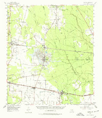
1955 Map of Daisetta
USGS Topo · Published 1974About this map
Oil production and irrigation networks define the landscape of eastern Texas in the mid-1950s. The town of Daisetta sits at the heart of an active Oil Field, surrounded by a complex system of canals and drainage ditches including the Merchant Canal and Long Island Cove. To the south, the Texas and New Orleans Highway and the Southern Pacific railroad corridor connect the settlements of Raywood, Ames, and Devers, illustrating the vital transportation links between the region's agricultural and industrial centers.
Find a feature on this map
67 named features on this map. Tap any name to fly to it.
Don’t see what you’re looking for? This feature index may not catch every label — zoom into the map to look around manually.
Map Details
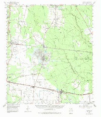
Editions of this 1955 Daisetta Map
3 editions found
Other maps of this area

1943 · Whites Bayou
USGS Topo · 1:24,000

1943 · Liberty
USGS Topo · 1:125,000

1945 · Nolte
USGS Topo · 1:31,680

1950 · Houston
USGS Topo · 1:250,000

1954 · Beaumont
USGS Topo · 1:250,000

1955 · Daisetta
USGS Topo · 1:62,500

1955 · Saratoga
USGS Topo · 1:62,500

1955 · Kountze
USGS Topo · 1:62,500

1955 · Sour Lake
USGS Topo · 1:62,500

1955 · Rayburn
USGS Topo · 1:62,500