Loading...
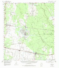
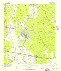
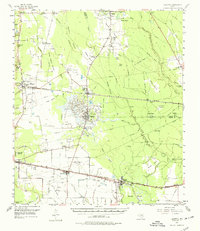
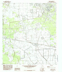
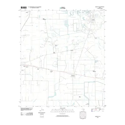
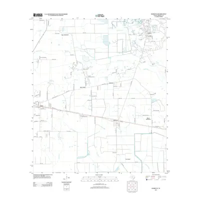
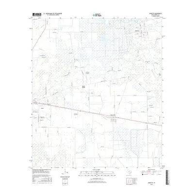
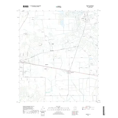
Loading map...1955 Map of Daisetta
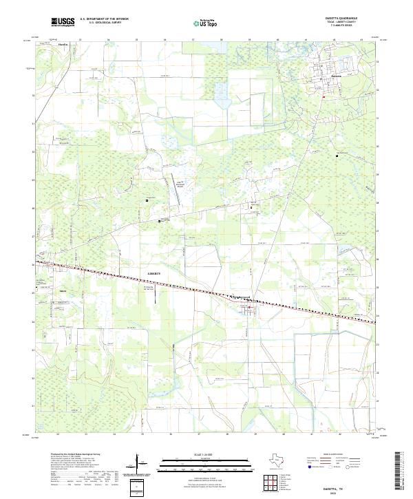
USGS Topo · Published 1984About this map
Daisetta and Hull serve as central hubs in this mid-century landscape of the Texas Gulf Coast, where the oil industry and rail networks define the local economy. An extensive Oil Field spans the corridor between these towns, surrounded by numerous specialized features like the Hull Swamp and West End Slough. Transport infrastructure is prominent, featuring the Missouri Pacific and Southern Pacific railroads, alongside rural aviation sites such as Burson Landing Field and Darrell Airport.
Find a feature on this map
68 named features on this map. Tap any name to fly to it.
Don’t see what you’re looking for? This feature index may not catch every label — zoom into the map to look around manually.
Map Details
Date Portrayed1955
Date Published1984
PublisherU.S. Geological Survey
Map TypeTopographic
Scale1:62,500
Physical Dimensions18 x 20.9 inches
Editions of this 1955 Daisetta Map
3 editions found
Historical Maps of Liberty Through Time
7 maps found
Featured Locations
Source Details
SourceU.S. Geological Survey
CopyrightPublic Domain