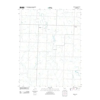
2011 Map of Sprague
USGS Topo · Published 2011About this map
Sprague serves as the central settlement on this Bates County landscape, situated amidst a dense network of prairie drainage. The area's topography is defined by the branching tributaries of Pryor Creek and Cottonwood Creek, which weave through the agricultural parcels of western Missouri. For genealogists, the map preserves the locations of two significant burial grounds: Greenlawn Cemetery in the northeast and Fairview Rider Cemetery located further south. This 2011 survey captures the region's rural character and road network, showing how local routes follow the section lines and natural contours of waterways like Reed Creek and Muddy Creek. The distribution of these water bodies, including Rutledge Creek and Willow Branch, illustrates the drainage patterns that have shaped land use and property boundaries in this part of the state for generations.
Find a feature on this map
11 named features on this map. Tap any name to fly to it.
Don’t see what you’re looking for? This feature index may not catch every label — zoom into the map to look around manually.
Map Details
Editions of this 2011 Sprague Map
This is the sole edition of this map. No revisions or reprints were ever made.
Other maps of this area

1884 · Fort Scott
USGS Topo · 1:125,000

1886 · Nevada
USGS Topo · 1:125,000

1886 · Fort Scott
USGS Topo · 1:125,000

1887 · Butler
USGS Topo · 1:125,000

1887 · Mound City
USGS Topo · 1:125,000

1893 · Fort Scott
USGS Topo · 1:125,000

1893 · Mound City
USGS Topo · 1:125,000

1894 · Butler
USGS Topo · 1:125,000

1894 · Nevada
USGS Topo · 1:125,000

1936 · Rich Hill
USGS Topo · 1:24,000