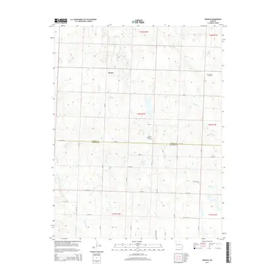
2015 Map of Sprague
USGS Topo · Published 2015About this map
Sprague sits at the center of this rural Bates County landscape, characterized by a dense network of creek drainages that define the local topography. The area is marked by numerous watercourses including Pryor Cr, Rutledge Cr, and Cottonwood Cr, which have historically shaped the agricultural boundaries and road placements of the region. Family and local history are anchored by sites such as Greenlawn Cemetery and the Fairview Rider Cemetery, providing critical touchstones for genealogical research. The map captures the interface of the Bates and Vernon County line, where the section-line road grid—including E Aaron Rd and E Bailey Rd—navigates the low-lying reaches of Muddy Cr and its various branches. This survey illustrates the persistent rural character of the Missouri prairie as it transitioned into the twenty-first century.
Find a feature on this map
25 named features on this map. Tap any name to fly to it.
Don’t see what you’re looking for? This feature index may not catch every label — zoom into the map to look around manually.
Map Details
Editions of this 2015 Sprague Map
This is the sole edition of this map. No revisions or reprints were ever made.
Other maps of this area

1884 · Fort Scott
USGS Topo · 1:125,000

1886 · Nevada
USGS Topo · 1:125,000

1886 · Fort Scott
USGS Topo · 1:125,000

1887 · Butler
USGS Topo · 1:125,000

1887 · Mound City
USGS Topo · 1:125,000

1893 · Fort Scott
USGS Topo · 1:125,000

1893 · Mound City
USGS Topo · 1:125,000

1894 · Butler
USGS Topo · 1:125,000

1894 · Nevada
USGS Topo · 1:125,000

1936 · Rich Hill
USGS Topo · 1:24,000