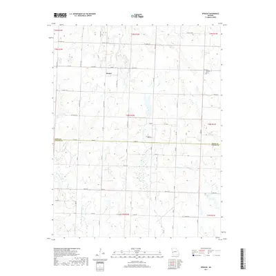
2017 Map of Sprague
USGS Topo · Published 2017About this map
Sprague serves as a central point of reference in this southwestern Missouri landscape, situated near the boundary between Bates and Vernon Counties. The terrain is defined by a dense network of small waterways, with Pryor Creek and Rutledge Creek moving through the western reaches, while Muddy Creek and Reed Creek drain the eastern sections. This survey provides a modern look at the rural road grid, illustrating how historic county roads like SW 7007 Co Rd and state routes like State Hwy A interface with local farmsteads and agricultural tracts. For those researching local history, the locations of Greenlawn Cemetery and Fairview Rider Cemetery are clearly marked, offering spatial context for family sites near the headwaters of Cottonwood Creek and other local tributaries.
Find a feature on this map
55 named features on this map. Tap any name to fly to it.
Don’t see what you’re looking for? This feature index may not catch every label — zoom into the map to look around manually.
Map Details
Editions of this 2017 Sprague Map
This is the sole edition of this map. No revisions or reprints were ever made.
Other maps of this area

1884 · Fort Scott
USGS Topo · 1:125,000

1886 · Nevada
USGS Topo · 1:125,000

1886 · Fort Scott
USGS Topo · 1:125,000

1887 · Butler
USGS Topo · 1:125,000

1887 · Mound City
USGS Topo · 1:125,000

1893 · Fort Scott
USGS Topo · 1:125,000

1893 · Mound City
USGS Topo · 1:125,000

1894 · Butler
USGS Topo · 1:125,000

1894 · Nevada
USGS Topo · 1:125,000

1936 · Rich Hill
USGS Topo · 1:24,000