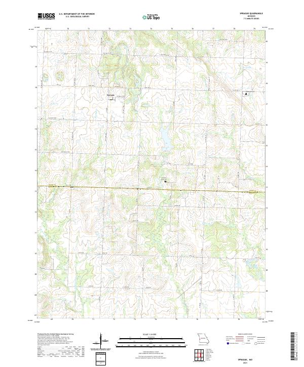
2021 Map of Sprague
USGS Topo · Published 2021About this map
Sprague serves as the central settlement in this agricultural landscape spanning the boundary between Bates and Vernon counties. The terrain is defined by a dense network of small waterways, including Pryor Cr and Rutledge Cr, which carve through the plains in a pattern of winding drainage. Local genealogy and land use are anchored by two primary burial sites, Greenlawn Cem and Fairview Rider Cem, which remain as permanent markers of the community's history amidst the surrounding farm roads. The road network, comprising routes like State Hwy A and numerous county lines such as SW 8808 Co Rd, reflects a persistent rural infrastructure designed around section lines and natural creek crossings. This survey captures a moment of modern agricultural stability where established land boundaries meet the headwaters of the Little Osage River system.
Find a feature on this map
35 named features on this map. Tap any name to fly to it.
Don’t see what you’re looking for? This feature index may not catch every label — zoom into the map to look around manually.
Map Details
Editions of this 2021 Sprague Map
This is the sole edition of this map. No revisions or reprints were ever made.
Other maps of this area

1884 · Fort Scott
USGS Topo · 1:125,000

1886 · Nevada
USGS Topo · 1:125,000

1886 · Fort Scott
USGS Topo · 1:125,000

1887 · Butler
USGS Topo · 1:125,000

1887 · Mound City
USGS Topo · 1:125,000

1893 · Fort Scott
USGS Topo · 1:125,000

1893 · Mound City
USGS Topo · 1:125,000

1894 · Butler
USGS Topo · 1:125,000

1894 · Nevada
USGS Topo · 1:125,000

1936 · Rich Hill
USGS Topo · 1:24,000