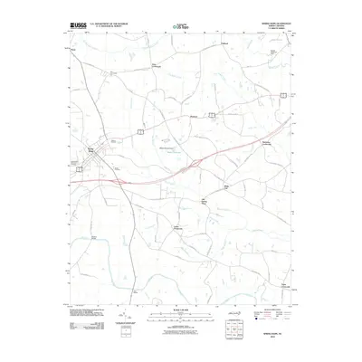
2010 Map of Spring Hope
USGS Topo · Published 2010About this map
Spring Hope serves as the primary hub for this Nash County landscape, where the agricultural legacy of North Carolina meets the winding waters of the Tar River. The area is characterized by numerous crossroads settlements such as Bass Crossroads, Lamm Crossroads, and Batchelor Crossroads, reflecting a historical pattern of community development centered at rural intersections. Local heritage is preserved in sites like Old Spring Hope and several burial grounds, including Oakdale Cemetery and Meeks Cemetery. The presence of water-driven industry and drainage is evident through features like Webbs Millpond and its associated dam, along with a network of creeks including Little Sapony Creek and Stony Creek. The map details a transition from the town's grid to a web of family-named lanes and farm roads like Smith Farm Ln and Tom Matthews Rd, which branch out toward the timber and fields.
Find a feature on this map
63 named features on this map. Tap any name to fly to it.
Don’t see what you’re looking for? This feature index may not catch every label — zoom into the map to look around manually.
Map Details
Editions of this 2010 Spring Hope Map
This is the sole edition of this map. No revisions or reprints were ever made.
Other maps of this area

1902 · Rocky Mount
USGS Topo · 1:62,500

1902 · Spring Hope
USGS Topo · 1:62,500

1904 · Rocky Mount
USGS Topo · 1:62,500

1904 · Springhope
USGS Topo · 1:62,500

1953 · Norfolk
USGS Topo · 1:250,000

1953 · Rocky Mount
USGS Topo · 1:250,000

1953 · Raleigh
USGS Topo · 1:250,000

1953 · Greensboro
USGS Topo · 1:250,000

1954 · Greensboro
USGS Topo · 1:250,000

1954 · Rocky Mount
USGS Topo · 1:250,000