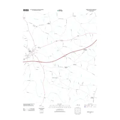
2013 Map of Spring Hope
USGS Topo · Published 2013About this map
Spring Hope serves as the primary hub of this 2013 Nash County landscape, where the grid of established streets contrasts with the series of unincorporated crossroads that define the surrounding rural territory. The map documents a classic North Carolina settlement pattern, where small communities like Momeyer and Old Spring Hope evolved along historic road junctions. To the north and east, the names Bass Crossroads, Red Crossroads, and Batchelor Crossroads indicate local landmarks vital to genealogical research and the history of rural commerce in the region.
Find a feature on this map
111 named features on this map. Tap any name to fly to it.
Don’t see what you’re looking for? This feature index may not catch every label — zoom into the map to look around manually.
Map Details
Editions of this 2013 Spring Hope Map
This is the sole edition of this map. No revisions or reprints were ever made.
Other maps of this area

1902 · Rocky Mount
USGS Topo · 1:62,500

1902 · Spring Hope
USGS Topo · 1:62,500

1904 · Rocky Mount
USGS Topo · 1:62,500

1904 · Springhope
USGS Topo · 1:62,500

1953 · Norfolk
USGS Topo · 1:250,000

1953 · Rocky Mount
USGS Topo · 1:250,000

1953 · Raleigh
USGS Topo · 1:250,000

1953 · Greensboro
USGS Topo · 1:250,000

1954 · Greensboro
USGS Topo · 1:250,000

1954 · Rocky Mount
USGS Topo · 1:250,000