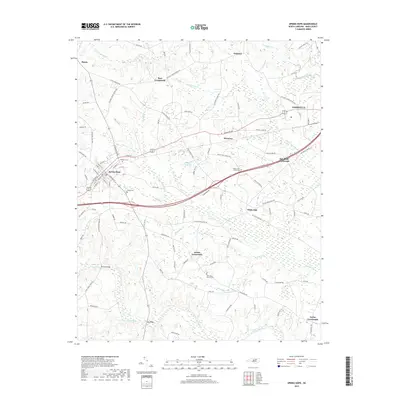
2019 Map of Spring Hope
USGS Topo · Published 2019About this map
The Tar River and its numerous tributaries, including Sapony Cr and Henry Br, define the landscape of this Nash County region. Central to the area is Spring Hope, a well-established town with a clear grid of streets such as W Main St and N Walnut St. Local history is anchored by several rural burial grounds like Oakdale Cem and Meeks Cem, while the surrounding countryside is dotted with long-standing community hubs such as Bass Crossroads and Lamm Crossroads. The map reveals the importance of water management and local infrastructure, evidenced by Webbs Millpond and several crossings over the river including Browns Bridge and York Bridge. To the east, the edge of Nashville and the village of Momeyer represent the continued expansion of residential and commercial nodes along the primary corridors.
Find a feature on this map
99 named features on this map. Tap any name to fly to it.
Don’t see what you’re looking for? This feature index may not catch every label — zoom into the map to look around manually.
Map Details
Editions of this 2019 Spring Hope Map
This is the sole edition of this map. No revisions or reprints were ever made.
Other maps of this area

1902 · Rocky Mount
USGS Topo · 1:62,500

1902 · Spring Hope
USGS Topo · 1:62,500

1904 · Rocky Mount
USGS Topo · 1:62,500

1904 · Springhope
USGS Topo · 1:62,500

1953 · Norfolk
USGS Topo · 1:250,000

1953 · Rocky Mount
USGS Topo · 1:250,000

1953 · Raleigh
USGS Topo · 1:250,000

1953 · Greensboro
USGS Topo · 1:250,000

1954 · Greensboro
USGS Topo · 1:250,000

1954 · Rocky Mount
USGS Topo · 1:250,000