2022 Map of Spring Hope
USGS Topo · Published 2022About this map
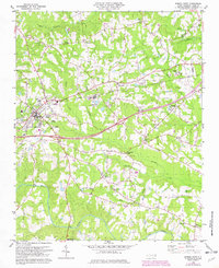
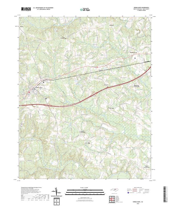
The town of Spring Hope serves as a central hub in this Nash County landscape, where the street grid of W Main St and E Nash St gives way to a sprawling network of crossroads and rural communities. This contemporary survey captures the transition from small-town infrastructure to the agricultural and natural features of the coastal plain. Numerous rural nodes like Bass Crossroads, Lamm Crossroads, and Batchelor Crossroads indicate the persistent importance of early transportation intersections in local geography.
Find a feature on this map
98 named features on this map. Tap any name to fly to it.
Don’t see what you’re looking for? This feature index may not catch every label — zoom into the map to look around manually.
Map Details
Editions of this 2022 Spring Hope Map
This is the sole edition of this map. No revisions or reprints were ever made.
Historical Maps of Taylor Crossroads Through Time
3 maps found