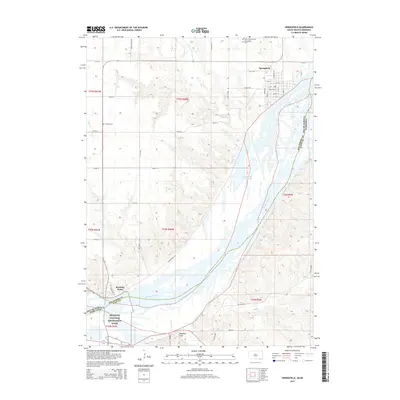
2015 Map of Springfield
USGS Topo · Published 2015About this map
The town of Springfield sits on the northern bluffs overlooking the Missouri River and the expansive Lewis and Clark Lake, marking a significant point on the South Dakota-Nebraska border. This 2015 survey reveals a landscape shaped by both the river and the rolling uplands of Bon Homme County. The river corridor itself is protected as the Missouri National Recreation River, a designation that reflects its unique ecological and historical importance. Along the river's path, the small settlement of Running Water and the distinctive landmark of Maidens Leap provide concrete points of interest for local researchers.
Find a feature on this map
40 named features on this map. Tap any name to fly to it.
Don’t see what you’re looking for? This feature index may not catch every label — zoom into the map to look around manually.
Map Details
Editions of this 2015 Springfield Map
This is the sole edition of this map. No revisions or reprints were ever made.
Other maps of this area

1950 · Niobrara
USGS Topo · 1:24,000

1950 · Verdigre NE
USGS Topo · 1:24,000

1955 · Sioux City
USGS Topo · 1:250,000

1955 · O'Neill
USGS Topo · 1:250,000

1958 · Sioux City
USGS Topo · 1:250,000

1959 · O'Neill
USGS Topo · 1:250,000

1959 · Sioux City
USGS Topo · 1:250,000

1969 · O'Neill
USGS Topo · 1:250,000

1974 · Sparta
USGS Topo · 1:24,000

1974 · Howe Creek
USGS Topo · 1:24,000
Featured Places
- Springfield, SD
- Running Water Township, SD
- Hancock Township, SD
- Springfield Township, SD
- Running Water, SD