2023 Map of Springville
USGS Topo · Published 2023About this map
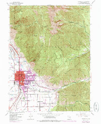
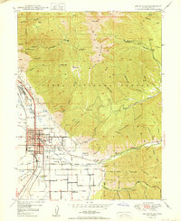
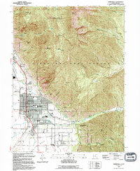
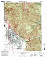
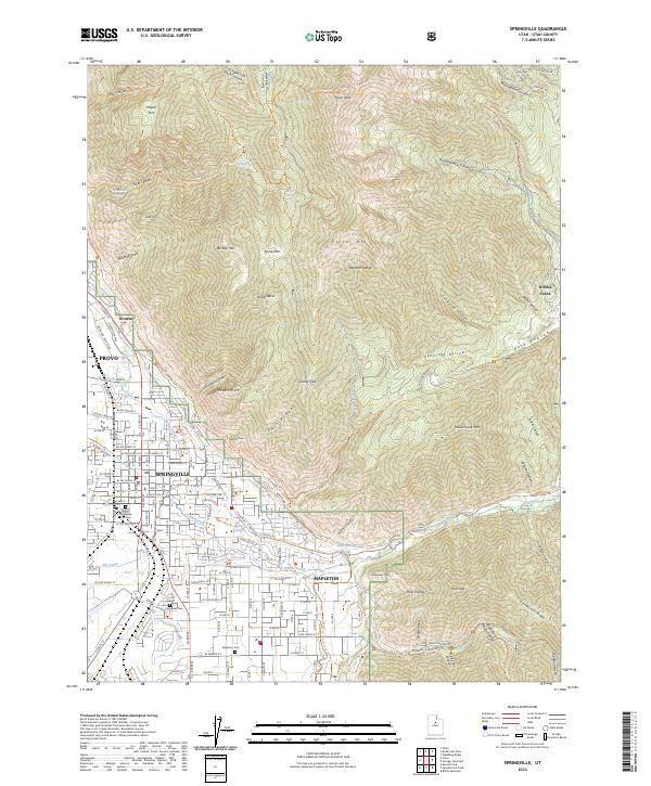
The high peaks of the Wasatch Range dominate this landscape, where steep canyons and ridges overlook the developed corridor of the Utah Valley. Springville and Mapleton occupy the alluvial fans at the base of the mountains, showing a transition from dense residential blocks to more open suburban and rural fringe. To the north, the industrial site of Ironton sits near the Provo city line, a reminder of the area's heavy industry roots. The map traces a complex network of recreation and water management, including the Bonneville Shoreline Trl and numerous named springs like Konold Spring and Clyde Spring. Genealogists will find the locations of three major burial grounds: Springville City Cem, Evergreen Cem, and Mapleton Cem, which serve as cornerstones for local family history research in this part of Utah County.
Find a feature on this map
157 named features on this map. Tap any name to fly to it.
Don’t see what you’re looking for? This feature index may not catch every label — zoom into the map to look around manually.
Map Details
Editions of this 2023 Springville Map
This is the sole edition of this map. No revisions or reprints were ever made.
Historical Maps of Mapleton Through Time
5 maps found