
1958 Map of Squaretop Hills
USGS Topo · Published 1959About this map
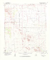
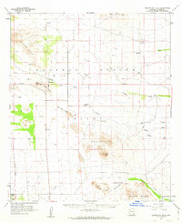
Sulphur Springs Valley stretches across this mid-century landscape, framed by the Sulphur Hills and the Swisshelm Mountains. This desert basin in Cochise County reveals a pattern of dispersed ranching and agricultural life, anchored by family-named landmarks such as Gears Ranch, Whitehead Ranch, and the Grizzles Orchard in the southwest corner. The presence of the Ash Creek School and the Light Cemetery suggests a community core near the now-defunct townsite of Light, while several scattered wells and prospects reflect the region's search for water and mineral resources.
Find a feature on this map
32 named features on this map. Tap any name to fly to it.
Don’t see what you’re looking for? This feature index may not catch every label — zoom into the map to look around manually.
Map Details
Editions of this 1958 Squaretop Hills Map
3 editions found
Other maps of this area

1916 · Pearce
USGS Topo · 1:125,000

1917 · San Simon
USGS Topo · 1:125,000

1917 · Chiricahua
USGS Topo · 1:125,000

1919 · Chiricahua
USGS Topo · 1:125,000

1922 · Willcox
USGS Topo · 1:125,000

1922 · Swisshelm
USGS Topo · 1:62,500

1925 · Gleeson
USGS Topo · 1:62,500

1926 · Light
USGS Topo · 1:62,500

1926 · Cochise Head
USGS Topo · 1:62,500

1926 · Rucker
USGS Topo · 1:62,500