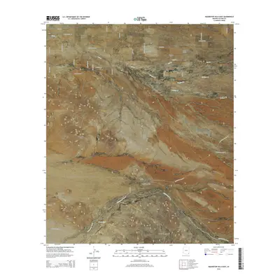
2014 Map of Squaretop Hills East
USGS Topo · Published 2014About this map
Sunizona stands as the primary settlement in this corner of Cochise County, where the valley floor transitions into the dramatic uplift of the Swisshelm Mountains. The landscape is defined by intermittent drainage systems like Whitewater Draw and Ash Cr, which carve through the arid terrain between prominent high points. To the west, the Squaretop Hills and Whitehead Ridge provide distinct navigational landmarks for the region.
Find a feature on this map
45 named features on this map. Tap any name to fly to it.
Don’t see what you’re looking for? This feature index may not catch every label — zoom into the map to look around manually.
Map Details
Editions of this 2014 Squaretop Hills East Map
This is the sole edition of this map. No revisions or reprints were ever made.
Other maps of this area
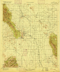
1916 · Pearce
USGS Topo · 1:125,000
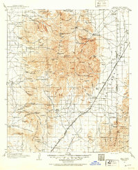
1917 · Chiricahua
USGS Topo · 1:125,000
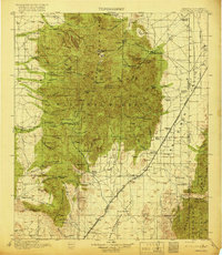
1919 · Chiricahua
USGS Topo · 1:125,000
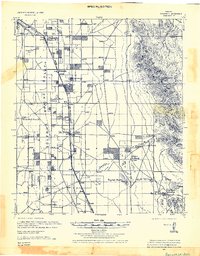
1922 · Swisshelm
USGS Topo · 1:62,500
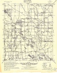
1926 · Light
USGS Topo · 1:62,500
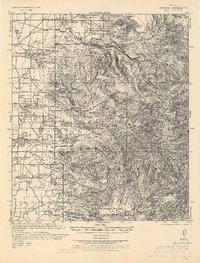
1926 · Rucker
USGS Topo · 1:62,500
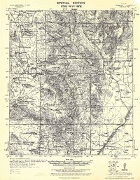
1926 · Pedregosa
USGS Topo · 1:62,500
1955 · Douglas
USGS Topo · 1:250,000
1958 · Chiricahua Peak
USGS Topo · 1:62,500
1958 · Squaretop Hills
USGS Topo · 1:62,500