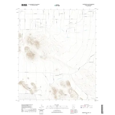
2018 Map of Squaretop Hills East
USGS Topo · Published 2018About this map
Squaretop Hills dominates the high ground of this Cochise County landscape, where the northern reaches of the Swisshelm Mountains rise sharply above the desert floor. The drainage patterns of Ash Cr, Stanford Cr, and Pridham Cr define the alluvial slopes, flowing toward the prominent Whitewater Draw in the south. This area is characterized by a network of ranching roads and remote residential lanes, including Jordan Ranch Rd and E Rucker Canyon Rd, which navigate the varying elevations between the hills and the Whitehead Ridge. Local history is anchored by the Kambitsch Cem in the northeast, a quiet landmark amidst a grid of named rural thoroughfares such as Elton Ln and E Day Trl that reflect the localized settlement and land use of the early 21st century.
Find a feature on this map
48 named features on this map. Tap any name to fly to it.
Don’t see what you’re looking for? This feature index may not catch every label — zoom into the map to look around manually.
Map Details
Editions of this 2018 Squaretop Hills East Map
This is the sole edition of this map. No revisions or reprints were ever made.
Other maps of this area
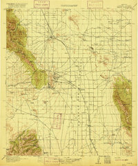
1916 · Pearce
USGS Topo · 1:125,000
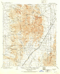
1917 · Chiricahua
USGS Topo · 1:125,000
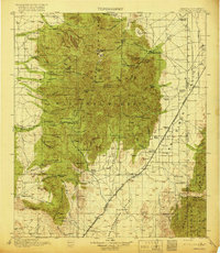
1919 · Chiricahua
USGS Topo · 1:125,000

1922 · Swisshelm
USGS Topo · 1:62,500
1926 · Light
USGS Topo · 1:62,500
1926 · Rucker
USGS Topo · 1:62,500
1926 · Pedregosa
USGS Topo · 1:62,500
1955 · Douglas
USGS Topo · 1:250,000
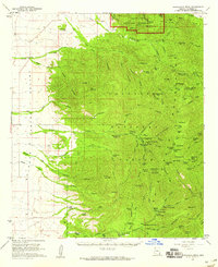
1958 · Chiricahua Peak
USGS Topo · 1:62,500
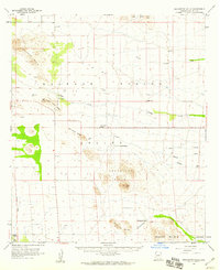
1958 · Squaretop Hills
USGS Topo · 1:62,500